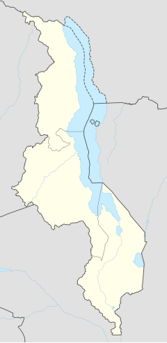
Mponela
Appearance
Mponela | |
|---|---|
| Coordinates: 13°31′S 33°43′E / 13.517°S 33.717°E | |
| Country | |
| Region | Central Region |
| District | Dowa District |
| Population (2018 Census[1]) | |
• Total | 24,543 |
| Time zone | +2 |
| Climate | Cwa |
Mponela is a town in Dowa District in the Central Region of Malawi.
Mponela lies at 1,200 m in the Dowa District in the Central Region of Malawi, 60 km north of Lilongwe, with a population of 24,543 (2018 Census). It is on the tarred road between Lilongwe–Mzuzu, is connected with power and phone lines and has an airstrip.
Mponela is primarily an agricultural town without touristic interest. The government maintains a nutrition centre in which 700 children per day obtain food.
Demographics
| Year | Population[2][1] |
|---|---|
| 1998 | 9,846 |
| 2008 | 14,322 |
| 2018 | 24,543 |
References
- ^ a b "2018 Population and Housing Census Main Report" (PDF). Malawi National Statistical Office. Retrieved 25 December 2019.
- ^ World Gazetteer: Malawi: largest cities and towns and statistics of their population
13°31′S 33°43′E / 13.517°S 33.717°E

