
Ampara
Ampara
අම්පාර அம்பாறை | |
|---|---|
| Country | Sri Lanka |
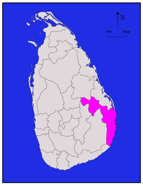
| Province | Eastern |
| District | Ampara |
| Government | |
| • Type | Urban Council |
| Time zone | UTC+5:30 (Sri Lanka Standard Time Zone) |
Ampara (Tamil: அம்பாறை, Sinhala: අම්පාර) is a remote city on the East Coast of Sri Lanka, about 360 km from the capital city of Colombo. It belongs to the Eastern Province of Sri Lanka. It was a part of the domain of Kavantissa (2nd century BCE) and was then known as "Ambaragama", which over the years changed to Ambara to Ampara. [citation needed]
Demographics
Most of the civilians are Sinhala, while Tamils and Sri Lankan Moors also live in the coastal parts of the district.[1] This was a hunters' resting place during British colonial days (late 1890s and early 1900). During the development of the Galoya scheme in 1952 by the late Prime Minister D.S. Senanayake, Ampara was transformed into a city. Initially it was the residence for the construction workers of Inginiyagala Dam. Later it became the main administrative hub of the Galoya Valley. Ampara is the largest paddy harvesting province in the country, and has the Indian Ocean on the east coast of Sri Lanka as a fisheries resource.[citation needed].
7°17′N 81°40′E / 7.283°N 81.667°E
Maps
References
- ^ The Journal of Asian Studies, Vol. 49, No. 1 (Feb., 1990), pp. 30–55, and references therein
This Eastern Province, Sri Lanka location article is a stub. You can help Wikipedia by expanding it. |