Belle Vue Harel
Belle Vue Maurel | |
|---|---|
| Coordinates: 20°03′57″S 57°35′39″E / 20.06583°S 57.59417°E | |
| Country | |
| Time zone | UTC+4 (MUT) |
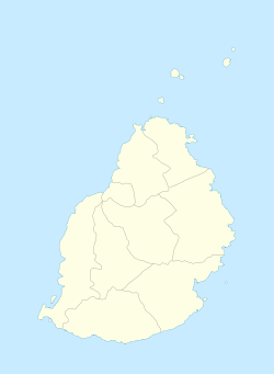
Belle Vue Maurel is a village in Mauritius that is located in the Rivière du Rempart District on the northern part of the island. It is located next to Amaury and Barlow villages. It houses a famous Tamil temple which is over a century old, (Belle-Vue-Maurel, Balasoopramaniar Kovil). It is part of the larger Plaine des Papayes area which as of 2011 had 7607 inhabitants.[1]
The village is the site of the Stade Anjalay, which is a prominent football venue for the nation, with the national football team and two top division teams (Pamplemousses SC, AS Rivière du Rempart) being resident.[2] Athletics is also accommodated at the stadium and the 1992 African Championships in Athletics was held in the village.[3]
References
- ^ Benjamin Moutou, Pamplemousses - Rivière du Rempart - Quatre siècles d'histoire, 2006, ISBN 978-99903-992-9-5, p. 305–307
- ^ Anjalay stadium, Belle Vue. Mauritius Sports Council. Retrieved on 2016-06-18.
- ^ African Championships in Athletics. GBR Athletics. Retrieved on 2016-06-18.

