Berus
Berus | |
|---|---|
 | |
| Coordinates: 49°15′50″N 6°41′40″E / 49.26389°N 6.69444°E | |
| Country | Germany |
| State | Saarland |
| District | Saarlouis |
| Municipality | Überherrn |
| Area | |
| • Total | 11.80 km2 (4.56 sq mi) |
| Elevation | 316 m (1,037 ft) |
| Population (2010-12-31) | |
| • Total | 2,053 |
| • Density | 170/km2 (450/sq mi) |
| Time zone | UTC+01:00 (CET) |
| • Summer (DST) | UTC+02:00 (CEST) |
| Postal codes | 66802 |
| Dialling codes | 06836 |
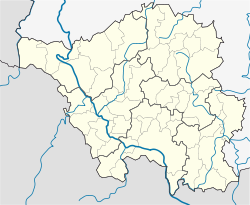
Berus is a village in the municipality of Überherrn in the district of Saarlouis, Saarland, southwestern Germany. Until December 1973, Berus was a municipality of its own.
Geographic position
The old centre of the village is situated on a spur of the Saargau overlooking the Saar valley, on the very border to Lorraine (France). The highest position is on 377 m absolute altitude. (Sauberg/Frensh broadcast station Europe 1)


