Cockscomb (mountain)
Appearance
| Cockscomb | |
|---|---|
| Hanekam | |
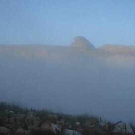
 Cockscomb peak rising out of the mist | |
| Highest point | |
| Elevation | 1,768 m (5,801 ft)[1] |
| Coordinates | 33°34′00″S 024°46′59″E / 33.56667°S 24.78306°E |
| Geography | |
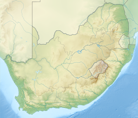
| Location | Eastern Cape, South Africa |
| Parent range | Great Winterhoek Mountains |
The Cockscomb is a high mountain in the Eastern Cape, in South Africa. It gets its name from its resemblance to a fowl's comb. It is situated in the Baviaanskloof region and the nearest town is Patensie. The Cockscomb is part of the Groot Winterhoek range. Its peak is 1,768 m (5,801 ft)[1] or 1,752 m (5,748 ft)[2] above sea level, depending on the source.
The current record climb for the mountain (disputed) is 8 hours, 35 minutes, set by Braden van Breda and his team (including Andre O'Kennedy and Chris Arderne), on 24 August 2011.
References
- ^ a b "Topography, Geology and Geomorphology". Gamtoos Tourism. 2008. Retrieved 15 March 2014.
- ^ "Cockscomb". Peakery. Retrieved 15 March 2014.

