Drouwenerveen
Appearance
52°58′N 6°51′E / 52.967°N 6.850°E
Drouwenerveen | |
|---|---|
 | |
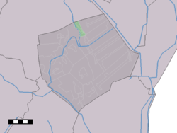
 Drouwenerveen in the municipality of Borger-Odoorn. | |
| Country | Netherlands |
| Province | Drenthe |
| Municipality | Borger-Odoorn |
| Population (1 January 2007) | 255 |
Drouwenerveen is a small village in the Dutch province of Drenthe. It is a part of the municipality of Borger-Odoorn, and lies about 20 km east of Assen.
The statistical area "Drouwenerveen", which can also include the surrounding countryside, has a population of around 260.[1]
References
- ^ Statistics Netherlands (CBS), Statline: Kerncijfers wijken en buurten 2003-2005. As of 1 January 2005.
