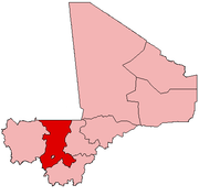
Fana, Mali
Appearance
Fana | |
|---|---|
Commune and town | |
| Coordinates: 12°46′N 6°34′W / 12.767°N 6.567°W | |
| Country | |
| Region | Koulikoro Region |
| Cercle | Dioila Cercle |
| Commune | Guegneka |
| Population (1998) | |
| • Total | 10,268 |
| Time zone | UTC+0 (GMT) |
Fana is a town and seat of the commune of Guegneka in Mali's Koulikoro Region. Fana has a population of approximately 25,631 inhabitants.
Boasting a major production site of the Compagnie malienne pour le développement du textile (CMDT), Fana is Mali's second greatest site of cotton production after Koutiala.
Fana accommodated the 4th edition of the Forum des peuples in 2005.


