
File:A new map of Ireland according to Sr. W. Petty (but supplied wth. many additions which are not in his survey nor in any other map) divided into its provinces, counties & barronies ... county maps (8643652942).jpg

Size of this preview: 382 × 599 pixels. Other resolutions: 153 × 240 pixels | 306 × 480 pixels | 489 × 768 pixels | 653 × 1,024 pixels | 1,306 × 2,048 pixels | 5,446 × 8,542 pixels.
Original file (5,446 × 8,542 pixels, file size: 20.4 MB, MIME type: image/jpeg)
| This is a file from the Wikimedia Commons. Information from its description page there is shown below. Commons is a freely licensed media file repository. You can help. |
_divided_into_its_provinces,_counties_%26_barronies_..._county_maps_(8643652942).jpg)
Summary
| Description |
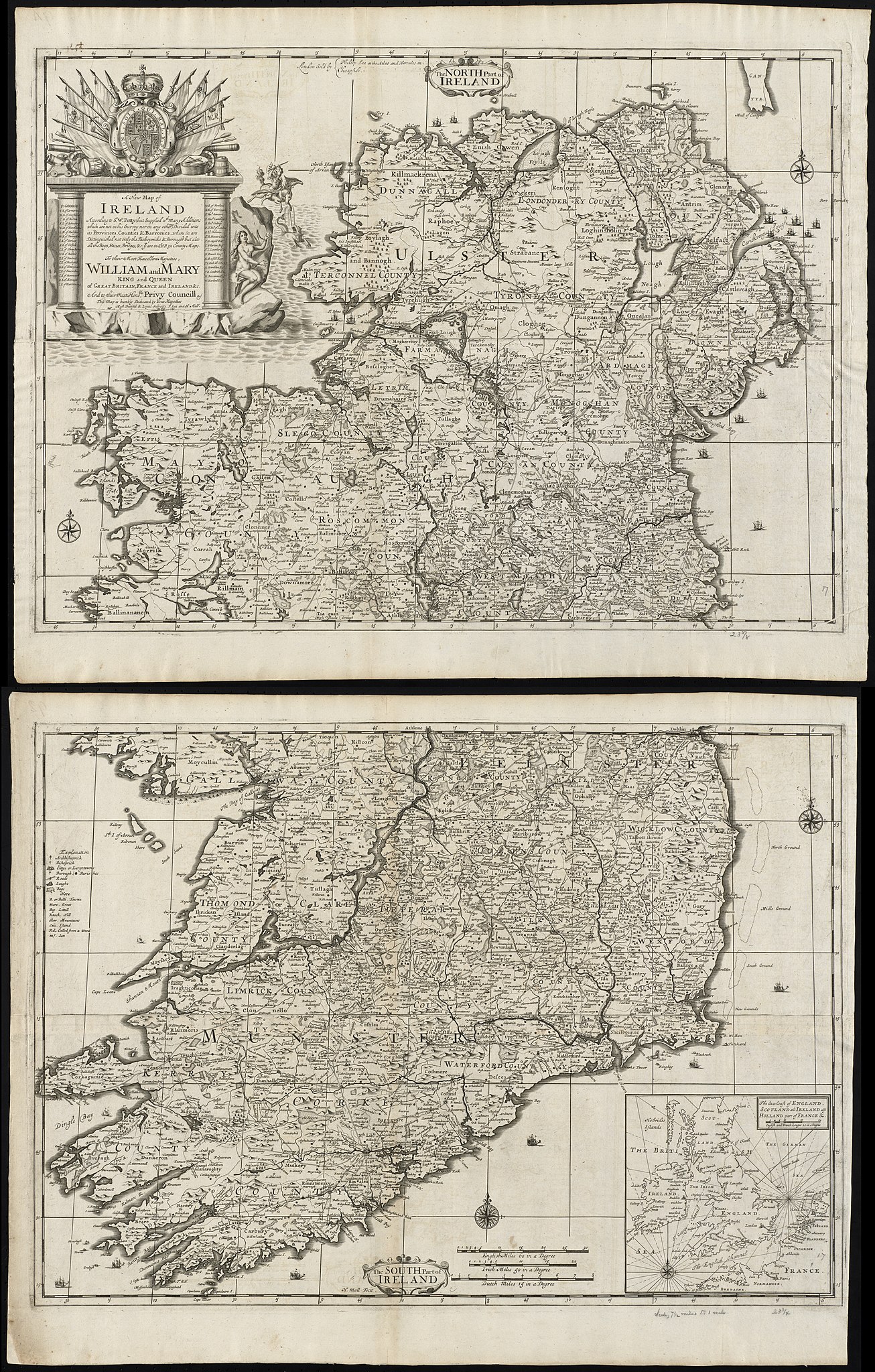
Zoom into this map at maps.bpl.org. Author: Lea, Philip Publisher: Lea, Philip Date: 1695 Location: Ireland Dimensions: 95 x 61 cm, sheets 52 x 66 cm. Scale: [ca. 1:525,000] Call Number: G1015 .C651 1630 |
| Date | |
| Source |
A new map of Ireland according to Sr. W. Petty (but supplied wth. many additions which are not in his survey nor in any other map) divided into its provinces, counties & barronies ... county maps Original source https://collections.leventhalmap.org/search/commonwealth:cj82kz301 |
| Author | http://maps.bpl.org |
Licensing
|
The author died in 1687, so this work is in the public domain in its country of origin and other countries and areas where the copyright term is the author's life plus 100 years or fewer. This work is in the public domain in the United States because it was published (or registered with the U.S. Copyright Office) before January 1, 1929. | |
| This file has been identified as being free of known restrictions under copyright law, including all related and neighboring rights. | |
| This image, originally posted to Flickr, was reviewed on 21 August 2013 by the administrator or reviewer File Upload Bot (Magnus Manske), who confirmed that it was available on Flickr under the stated license on that date. |
File history
Click on a date/time to view the file as it appeared at that time.
| Date/Time | Thumbnail | Dimensions | User | Comment | |
|---|---|---|---|---|---|
| current | 12:35, 7 December 2020 | | 5,446 × 8,542 (20.4 MB) | Ww2censor | Highest resolution from Boston Public Library's original source tif converted to jpg - previous version seems messed up |
| 12:03, 7 December 2020 |  | 5,446 × 8,542 (8.04 MB) | Ww2censor | Higher resolution from Boston Public Library's original source | |
| 03:31, 21 August 2013 |  | 510 × 799 (137 KB) | File Upload Bot (Magnus Manske) | Transferred from Flickr by User:tm |
File usage
The following pages on the English Wikipedia use this file (pages on other projects are not listed):
_divided_into_its_provinces,_counties_%26_barronies_..._county_maps_(8643652942).jpg)