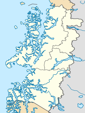
File:Aysén location map.svg
Appearance

Size of this PNG preview of this SVG file: 300 × 397 pixels. Other resolutions: 181 × 240 pixels | 363 × 480 pixels | 580 × 768 pixels | 774 × 1,024 pixels | 1,547 × 2,048 pixels.
Original file (SVG file, nominally 300 × 397 pixels, file size: 1.07 MB)
File history
Click on a date/time to view the file as it appeared at that time.
| Date/Time | Thumbnail | Dimensions | User | Comment | |
|---|---|---|---|---|---|
| current | 00:15, 16 August 2023 |  | 300 × 397 (1.07 MB) | Janitoalevic | . |
| 00:07, 16 August 2023 |  | 300 × 397 (1.02 MB) | Janitoalevic | Better borders | |
| 23:04, 15 August 2023 |  | 300 × 397 (1.05 MB) | Janitoalevic | Fixed border with Magallanes & Chilean Antarctica Region | |
| 22:43, 24 December 2017 |  | 300 × 390 (1.01 MB) | Janitoalevic | . | |
| 21:26, 22 October 2017 |  | 300 × 390 (1.01 MB) | Janitoalevic | More precise borders. | |
| 00:14, 7 May 2016 |  | 300 × 390 (1.01 MB) | Janitoalevic | Added and fixed lakes, islands and borders | |
| 00:44, 6 May 2016 |  | 300 × 390 (1,016 KB) | Janitoalevic | Better province borders | |
| 21:56, 5 May 2016 |  | 300 × 390 (1,016 KB) | Janitoalevic | User created page with UploadWizard |
File usage
The following 8 pages use this file:
Global file usage
The following other wikis use this file:
- Usage on ar.wikipedia.org
- Usage on de.wikipedia.org
- Coyhaique
- Puerto Aysén
- Cochrane (Chile)
- Tortel
- Villa O’Higgins
- Lago Buenos Aires/General Carrera
- Nördliches Patagonisches Eisfeld
- Wikipedia:Kartenwerkstatt/Positionskarten/Südamerika
- Aysén (Kommune)
- Messier-Kanal
- Golf von Penas
- Jorge-Montt-Gletscher
- Erdbeben der Región de Aysén 1927
- Lago O’Higgins/San Martín
- Lago Cochrane
- Lago Presidente Ríos
- Vorlage:Positionskarte Chile Aysén
- Moraleda-Kanal
- Melimoyu
- Puerto Aguirre (Chile)
- Usage on eo.wikipedia.org
- Usage on es.wikipedia.org
- Coyhaique
- Chile Chico
- Puerto Aysén
- Puerto Chacabuco
- Puyuhuapi
- Volcán Hudson
- Puerto Cisnes
- Istmo de Ofqui
- Monte San Valentín
- Puerto Bertrand
- Melinka
- Puerto Ingeniero Ibáñez
- Aeródromo Balmaceda
- Balmaceda
- La Tapera
- Puerto Raúl Marín Balmaceda
- La Junta (Chile)
- Cerro Steffen
- Glaciar San Quintín
- Parque nacional Isla Guamblin
- Parque nacional Cerro Castillo
- Cerro San Lorenzo
View more global usage of this file.

