
File:C74193s5 Ant.Map Mount Melbourne.jpg

Size of this preview: 644 × 600 pixels. Other resolutions: 258 × 240 pixels | 515 × 480 pixels | 824 × 768 pixels | 1,099 × 1,024 pixels | 2,198 × 2,048 pixels | 3,493 × 3,254 pixels.
Original file (3,493 × 3,254 pixels, file size: 1.68 MB, MIME type: image/jpeg)
| This is a file from the Wikimedia Commons. Information from its description page there is shown below. Commons is a freely licensed media file repository. You can help. |
Summary
| Description |
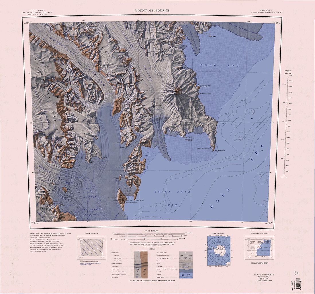
English: 1:250,000-scale topographic reconnaissance map of the Mount Melbourne area from 162°-166°30'E to 74°-75°S in Antarctica. Mapped, edited and published by the U.S. Geological Survey in cooperation with the National Science Foundation. |
|||
| Date | ||||
| Source | http://usarc.usgs.gov/drg_dload.shtml | |||
| Author | United States Geological Survey | |||
| Permission (Reusing this file) |
|
|||
| Other versions | Derivative works of this file: Baker Rocks.jpg |
| Annotations | This image is annotated: View the annotations at Commons |
File history
Click on a date/time to view the file as it appeared at that time.
| Date/Time | Thumbnail | Dimensions | User | Comment | |
|---|---|---|---|---|---|
| current | 06:51, 4 April 2005 | | 3,493 × 3,254 (1.68 MB) | Achim Raschka | Map of Antarctica by the United States Antarctic Ressource Center of the US Geological Society. {{PD-US}} Copyrights and Trademarks USGS-authored or produced data and information are in the public domain. While the content of most USGS web pages is in th |
File usage
The following pages on the English Wikipedia use this file (pages on other projects are not listed):
Global file usage
The following other wikis use this file:
- Usage on bg.wikipedia.org
- Usage on ceb.wikipedia.org
- Usage on de.wikipedia.org
- Mount Baxter
- Mount Nansen
- Terra Nova Bay
- Hansen-Nunatak
- Nansen-Eistafel
- Reeves-Gletscher
- Teall-Nunatak
- Prince Albert Mountains
- Kap Russell
- Eisenhower Range
- Priestley-Gletscher
- Deep Freeze Range
- Northern Foothills
- Browning-Pass
- Cape Canwe
- Vegetation Island
- Wood Bay
- Kap Washington
- Corner-Gletscher
- Mount Borgstrom
- Mount Meister
- Nash Ridge
- O’Kane-Gletscher
- Eskimo Point
- O’Kane Canyon
- Pinckard Table
- Wood Ridge (Antarktika)
- Random Hills
- Cape Confusion
- Polar-3-Halbinsel
- Gerlache Inlet
- Hells Gate (Antarktika)
- Mount Keinath
- Snowy Point
- Föhnhalbinsel
- Westantarktisches Riftsystem
- Usage on fr.wikipedia.org
- Usage on he.wikipedia.org
- Usage on it.wikipedia.org
View more global usage of this file.