
File:Casernes des pompiers Montréal.jpg

Original file (936 × 673 pixels, file size: 180 KB, MIME type: image/jpeg)
| This is a file from the Wikimedia Commons. Information from its description page there is shown below. Commons is a freely licensed media file repository. You can help. |
| Description |
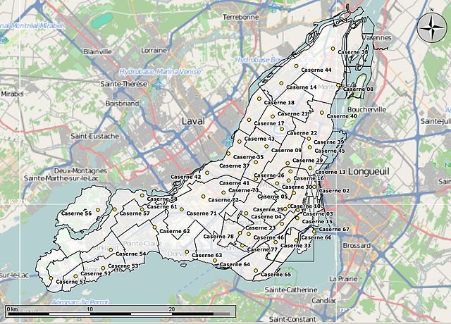
English: Loaded 3 KML data sets from the City of Montreal to make this map. The "polygones arrondissements", the "casernes des pompiers" and the "hydrogéographie". Loaded into an Open Street Map of the City using Marble. |
|||||
| Date | ||||||
| Source | Self-made using KML data from the City of Montreal | |||||
| Author | self-made | |||||
| Permission (Reusing this file) |
For the City of Montreal data:
4.1 Vous devez inclure et maintenir l’avis suivant sur vos reproductions, modifications, traductions et distributions des Données : Contient des données reproduites, modifiées, traduites ou distribuées « telles quelles » avec la permission de la Ville de Montréal. 4.2 Si un Produit à valeur ajoutée contient des données, vous devez inclure l’avis suivant sur ce produit : Ce produit contient des données accordées sous licence « telles quelles » aux termes de l’accord de licence d’utilisation des données de la Ville de Montréal. L’octroi de la licence ne constitue pas une approbation du produit par la Ville de Montréal. "Open Street Map data: This file is licensed under the Creative Commons Attribution-Share Alike 2.0 Generic license.
This screenshot either does not contain copyright-eligible parts or visuals of copyrighted software, or the author has released it under a free license (which should be indicated beneath this notice), and as such follows the licensing guidelines for screenshots of Wikimedia Commons. You may use it freely according to its particular license. Free software license:
Note: if the screenshot shows any work that is not a direct result of the program code itself, such as a text or graphics that are not part of the program, the license for that work must be indicated separately. |
|||||
| Other versions | Full text of the license for the Ville de Montreal, in French only. http://donnees.ville.montreal.qc.ca/licence/licence-texte-complet/#Indication. You must attribute the data to the City of Montreal, given as-is, not approved by the City. Commercial re-use of the data is permitted. Does not seem to be available in English. |


File history
Click on a date/time to view the file as it appeared at that time.
| Date/Time | Thumbnail | Dimensions | User | Comment | |
|---|---|---|---|---|---|
| current | 03:41, 5 March 2013 | | 936 × 673 (180 KB) | Oaktree b | {{Information |Description ={{en|1=Loaded 3 KML data sets from the City of Montreal to make this map. The "polygones arrondissements", the "casernes des pompiers" and the "hydrogéographie". Loaded into an Open Street Map of the City using Marble. }... |
File usage
Global file usage
The following other wikis use this file:
- Usage on fr.wikipedia.org