
File:Castle of Chailly-sur-Armançon from the A6 highway.jpg

Size of this preview: 800 × 600 pixels. Other resolutions: 320 × 240 pixels | 640 × 480 pixels | 1,024 × 768 pixels | 1,280 × 960 pixels | 2,560 × 1,920 pixels | 4,416 × 3,312 pixels.
Original file (4,416 × 3,312 pixels, file size: 500 KB, MIME type: image/jpeg)
| This is a file from the Wikimedia Commons. Information from its description page there is shown below. Commons is a freely licensed media file repository. You can help. |
Summary
| Description |
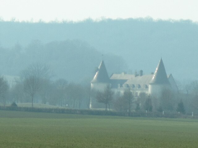
English: The castle of Chailly-sur-Armançon seen from the on French highway A6.
Français : Le chateau de Chailly-sur-Armançon vu depuis l'autoroute A6. |
| Date | |
| Source | Own work |
| Author | Tangopaso |
| Camera location | | View this and other nearby images on: OpenStreetMap |
|---|
| Object location | | View this and other nearby images on: OpenStreetMap |
|---|
Licensing
| I, the copyright holder of this work, release this work into the public domain. This applies worldwide. In some countries this may not be legally possible; if so: I grant anyone the right to use this work for any purpose, without any conditions, unless such conditions are required by law. |
File history
Click on a date/time to view the file as it appeared at that time.
| Date/Time | Thumbnail | Dimensions | User | Comment | |
|---|---|---|---|---|---|
| current | 07:30, 18 February 2012 | | 4,416 × 3,312 (500 KB) | Tangopaso | == {{int:filedesc}} == {{Information |Description={{en|1=The castle of Chailly-sur-Armançon seen from the on French highway A6.}} {{fr|1=Le chateau de Chailly-sur-Armançon vu depuis l'autoroute A6.}} |Source={{own}} |Author=Tangopaso |
File usage
No pages on the English Wikipedia use this file (pages on other projects are not listed).
Global file usage
The following other wikis use this file:
- Usage on ceb.wikipedia.org
- Usage on fa.wikipedia.org
- Usage on fr.wikipedia.org
- Usage on la.wikipedia.org
- Usage on oc.wikipedia.org
- Usage on pt.wikipedia.org
- Usage on ru.wikipedia.org
- Usage on sr.wikipedia.org
- Usage on sv.wikipedia.org
- Usage on www.wikidata.org
- Usage on zh-min-nan.wikipedia.org