
File:Caversham Park - geograph.org.uk - 616772.jpg
No higher resolution available.
Caversham_Park_-_geograph.org.uk_-_616772.jpg (640 × 480 pixels, file size: 166 KB, MIME type: image/jpeg)
| This is a file from the Wikimedia Commons. Information from its description page there is shown below. Commons is a freely licensed media file repository. You can help. |
Summary
| Description |
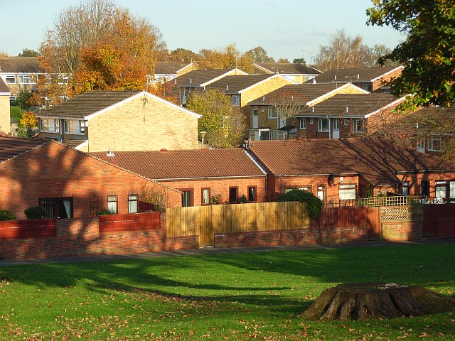
English: Caversham Park The housing estate sometimes goes by the name Caversham Park Village. It is undeniable that this is a misnomer for this bit of suburbia, and the "Village" is omitted by the Ordnance Survey. The estate has retained plenty of green space and trees and is the northeastern extremity of built-up Reading. The line of houses in the centre of the picture is on Harlech Avenue. We see the houses' front aspects which face the public footpath, not the road. |
| Date | |
| Source | From geograph.org.uk |
| Author | Andrew Smith |
| Attribution (required by the license) | Andrew Smith / Caversham Park / |
| Camera location | | View this and other nearby images on: OpenStreetMap |
|---|
_heading:45.00&language=en)
| Object location | | View this and other nearby images on: OpenStreetMap |
|---|
_heading:45.00&language=en)
Licensing

|
This image was taken from the Geograph project collection. See this photograph's page on the Geograph website for the photographer's contact details. The copyright on this image is owned by Andrew Smith and is licensed for reuse under the Creative Commons Attribution-ShareAlike 2.0 license.
|
This file is licensed under the Creative Commons Attribution-Share Alike 2.0 Generic license.
Attribution: Andrew Smith
- You are free:
- to share – to copy, distribute and transmit the work
- to remix – to adapt the work
- Under the following conditions:
- attribution – You must give appropriate credit, provide a link to the license, and indicate if changes were made. You may do so in any reasonable manner, but not in any way that suggests the licensor endorses you or your use.
- share alike – If you remix, transform, or build upon the material, you must distribute your contributions under the same or compatible license as the original.
File history
Click on a date/time to view the file as it appeared at that time.
| Date/Time | Thumbnail | Dimensions | User | Comment | |
|---|---|---|---|---|---|
| current | 02:10, 7 February 2011 | | 640 × 480 (166 KB) | GeographBot | == {{int:filedesc}} == {{Information |description={{en|1=Caversham Park The housing estate sometimes goes by the name Caversham Park Village. It is undeniable that this is a misnomer for this bit of suburbia, and the "Village" is omitted by the Ordnance S |
File usage
The following pages on the English Wikipedia use this file (pages on other projects are not listed):
Global file usage
The following other wikis use this file:
- Usage on ar.wikipedia.org
- Usage on arz.wikipedia.org
- Usage on cy.wikipedia.org
- Usage on www.wikidata.org