
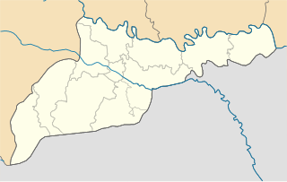
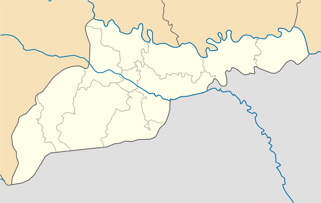
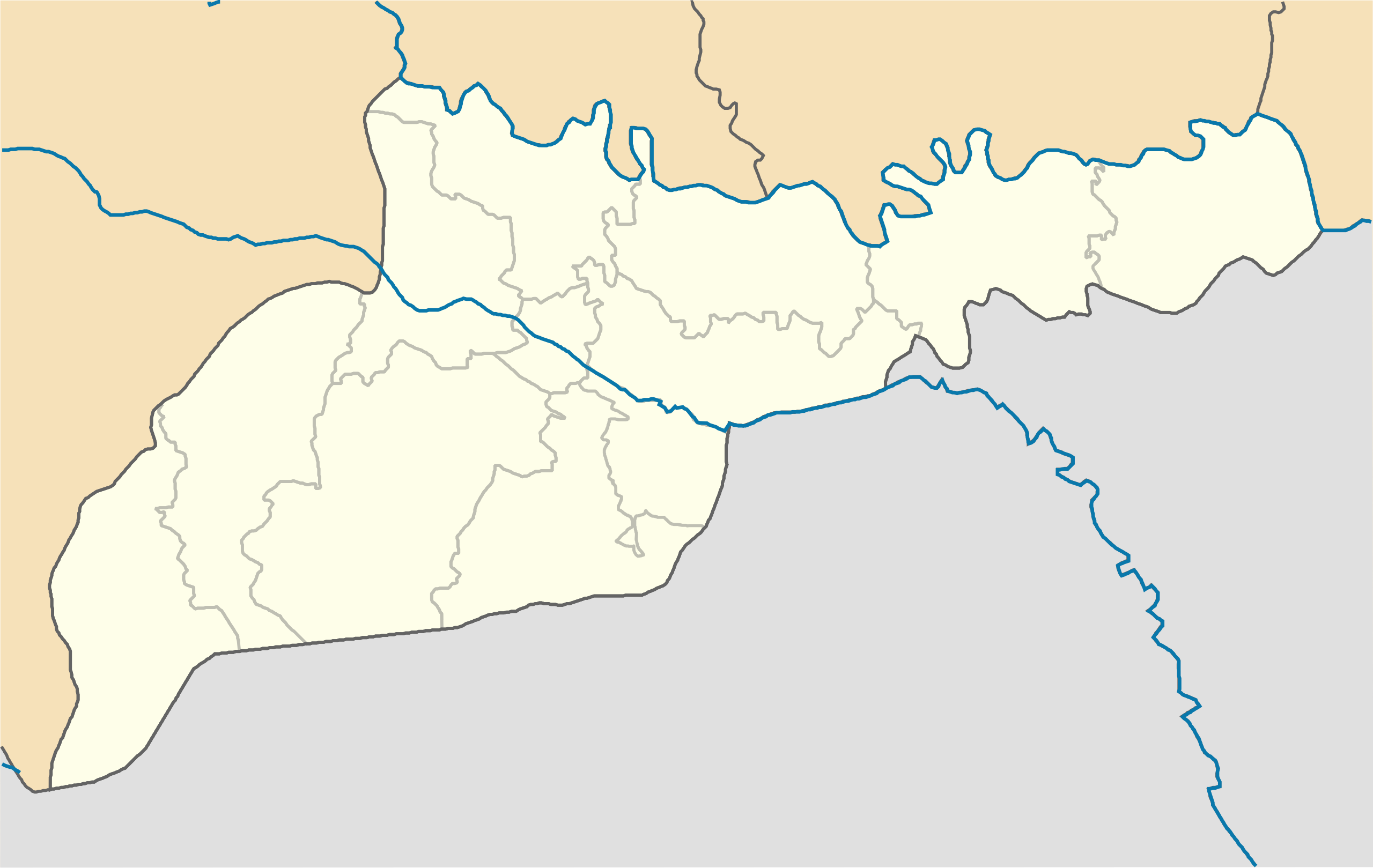
File:Chernivtsi province location map.svg

Size of this PNG preview of this SVG file: 533 × 337 pixels. Other resolutions: 320 × 202 pixels | 640 × 405 pixels | 1,024 × 647 pixels | 1,280 × 809 pixels | 2,560 × 1,619 pixels.
Original file (SVG file, nominally 533 × 337 pixels, file size: 243 KB)
| This is a file from the Wikimedia Commons. Information from its description page there is shown below. Commons is a freely licensed media file repository. You can help. |
Summary
| Description |
English: Location map of Chernivtsi province, Ukraine
Русский: Позиционная карта Черновицкой области, Украина
Українська: Карта Чернівецької області, Україна |
| Date | |
| Source | Own work |
| Author | Urutseg |
Licensing
| I, the copyright holder of this work, release this work into the public domain. This applies worldwide. In some countries this may not be legally possible; if so: I grant anyone the right to use this work for any purpose, without any conditions, unless such conditions are required by law. |
File history
Click on a date/time to view the file as it appeared at that time.
| Date/Time | Thumbnail | Dimensions | User | Comment | |
|---|---|---|---|---|---|
| current | 23:05, 20 October 2018 | | 533 × 337 (243 KB) | WithUinH | User added borders between Hlyboka Raion and Hertsa Raion |
| 09:27, 29 June 2014 |  | 533 × 337 (132 KB) | קרלוס הגדול | lighter borders between provinces | |
| 09:51, 7 December 2010 |  | 533 × 337 (132 KB) | Urutseg | == {{int:filedesc}} == {{Information |Description={{en|1=Location map of Chernivtsi province, Ukraine}} {{ru|1=Позиционная карта Черновицкой области, Украина}} |Source={{own}} |Author=Urutseg |Date |
File usage
No pages on the English Wikipedia use this file (pages on other projects are not listed).
Global file usage
The following other wikis use this file:
- Usage on ar.wikipedia.org
- Usage on bg.wikipedia.org
- Usage on de.wikipedia.org
- Usage on es.wikipedia.org
- Usage on fa.wikipedia.org
- Usage on he.wikipedia.org
- צ'רנוביץ
- ויז'ניציה
- זאסטוונה
- קיצמן
- סדיגורה
- בויאן
- חוטין
- בית הכנסת הכוראלי של צ'רנוביץ
- סקורני
- מגורי המטרופוליטים של בוקובינה ודלמטיה
- דוידיבקה
- תבנית:מפת מיקום/מחוז צ'רנוביץ
- צ'רנוביץ (מחוז)
- לוז'אני
- קרסנוילסק
- נובודניסטרובסק
- סטורוז'ינץ
- נובוסליצה
- צ'רפקיבצי
- ברהומט
- משתמש:Shafi3001/סטרויניץ
- ויקיפדיה:מיזמי ויקיפדיה/אתר האנציקלופדיה היהודית/ערכים ששוכתבו או הורחבו באנציקלופדיה היהודית/ויז'ניציה
- ויקיפדיה:מיזמי ויקיפדיה/אתר האנציקלופדיה היהודית/מיון נושאים: לוויקי/חוטין
- Usage on pl.wikibooks.org
- Usage on ru.wikipedia.org
- Usage on war.wikipedia.org
- Usage on yi.wikipedia.org
- Usage on zh-min-nan.wikipedia.org
View more global usage of this file.