
File:Cumberland Lewis.png
Size of this preview: 483 × 600 pixels. Other resolutions: 193 × 240 pixels | 386 × 480 pixels | 805 × 1,000 pixels.
Original file (805 × 1,000 pixels, file size: 403 KB, MIME type: image/png)
Summary[edit]
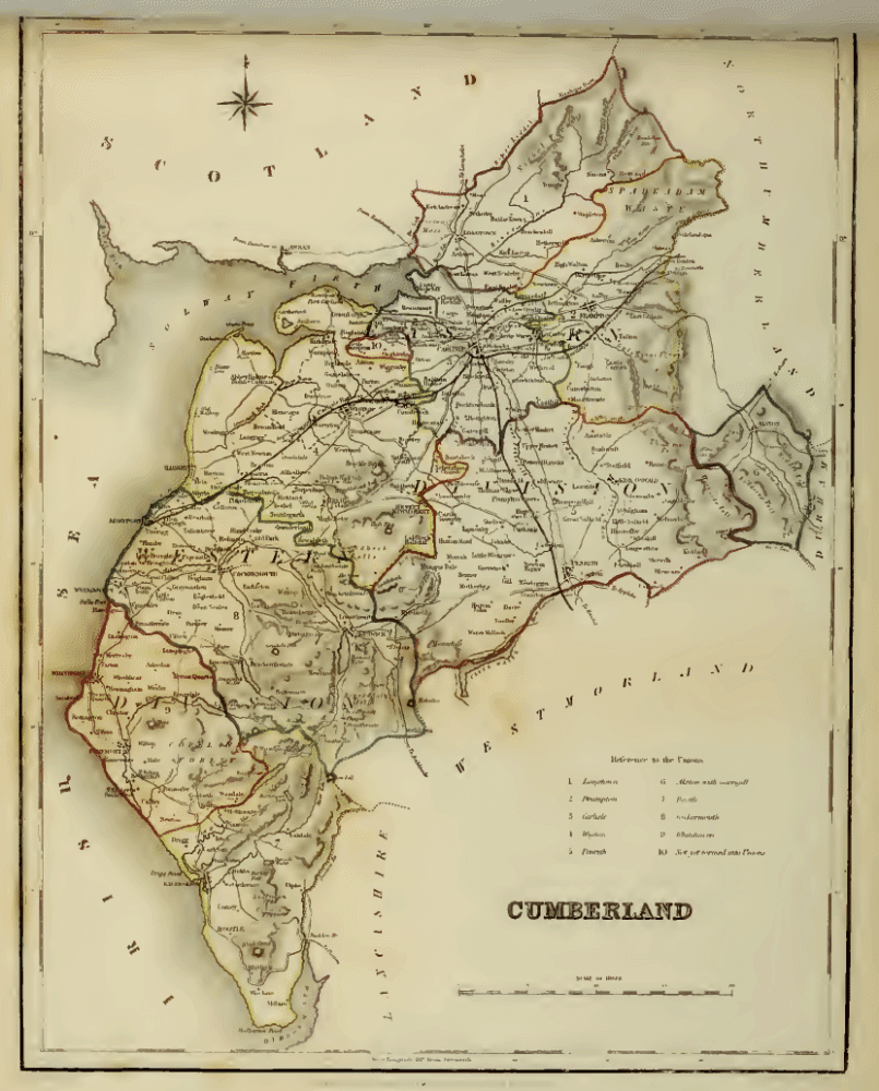
Map of Cumberland from the Atlas to the Topographical Dictionary of England, edited by Samuel Lewis 1845. Drawn by R. Creighton, engraved by T. Starling.
Licensing:[edit]
| This file is in the public domain because its copyright has expired in the United States and those countries with a copyright term of no more than the life of the author plus 100 years.
|
 | This file is a candidate to be copied to Wikimedia Commons.
Any user may perform this transfer; refer to Wikipedia:Moving files to Commons for details. If this file has problems with attribution, copyright, or is otherwise ineligible for Commons, then remove this tag and DO NOT transfer it; repeat violators may be blocked from editing. Other Instructions
| ||
| |||
File history
Click on a date/time to view the file as it appeared at that time.
| Date/Time | Thumbnail | Dimensions | User | Comment | |
|---|---|---|---|---|---|
| current | 11:13, 22 June 2009 | | 805 × 1,000 (403 KB) | Lozleader (talk | contribs) | Map of Cumberland from the ''Atlas to the Topographical Dictionary of England', edited by Samuel Lewis 1845. Drawn by R. Creighton, engraved by T. Starling. |
You cannot overwrite this file.
File usage
The following pages on the English Wikipedia use this file (pages on other projects are not listed):