
File:Duernrohr-02.jpg

Size of this preview: 800 × 600 pixels. Other resolutions: 320 × 240 pixels | 640 × 480 pixels | 1,024 × 768 pixels | 1,280 × 960 pixels | 1,600 × 1,200 pixels.
Original file (1,600 × 1,200 pixels, file size: 722 KB, MIME type: image/jpeg)
| This is a file from the Wikimedia Commons. Information from its description page there is shown below. Commons is a freely licensed media file repository. You can help. |
| Object location | | View this and other nearby images on: OpenStreetMap |
|---|
| Description |
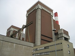
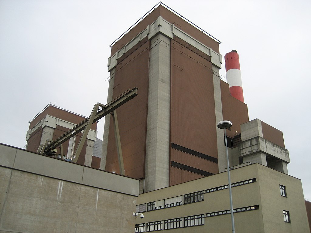
Deutsch: das Kohlekraftwerk Dürnrohr in Niederösterreich
English: Coal power plant in Dürnrohr, Lower Austria
| ||
| Address |
|
||
| Date | Taken on 10 July 2008 | ||
| Source | photo taken by de:Benutzer:Priwo | ||
| Author | Priwo | ||
| Permission (Reusing this file) |
|
File history
Click on a date/time to view the file as it appeared at that time.
| Date/Time | Thumbnail | Dimensions | User | Comment | |
|---|---|---|---|---|---|
| current | 06:05, 12 July 2008 | | 1,600 × 1,200 (722 KB) | Priwo | {{Information| |Description = *{{de|Kohlekraftwerk Duernrohr in Niederoesterreich}} *{{en|Coal power plant in Duernrohr, Lower Austria}} |Source = photo taken by de:Benutzer:Priwo |Date = created 10. Jul. 2008 |Author = Priwo |Permis |
File usage
The following pages on the English Wikipedia use this file (pages on other projects are not listed):