
File:Fort McMurray, Alberta Location.png
Size of this preview: 341 × 599 pixels. Other resolutions: 136 × 240 pixels | 352 × 618 pixels.
Original file (352 × 618 pixels, file size: 55 KB, MIME type: image/png)
| This is a file from the Wikimedia Commons. Information from its description page there is shown below. Commons is a freely licensed media file repository. You can help. |
Summary
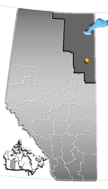
| Description | Location of Fort McMurray, Census Division No. 16, Albera |
| Date | 8 March 2006 (original upload date) |
| Source | No machine-readable source provided. Own work assumed (based on copyright claims). |
| Author | No machine-readable author provided. Qyd assumed (based on copyright claims). |
Licensing
| I, the copyright holder of this work, release this work into the public domain. This applies worldwide. In some countries this may not be legally possible; if so: I grant anyone the right to use this work for any purpose, without any conditions, unless such conditions are required by law. |
File history
Click on a date/time to view the file as it appeared at that time.
| Date/Time | Thumbnail | Dimensions | User | Comment | |
|---|---|---|---|---|---|
| current | 17:38, 18 March 2007 | | 352 × 618 (55 KB) | Lexicon | Locator map in new style used on other Alberta articles. |
| 04:50, 12 March 2006 |  | 224 × 390 (17 KB) | Qyd | Location of Fort McMurray, Census Division No. 16, Albera Category:Locator_maps_of_towns_in_Alberta | |
| 19:15, 8 March 2006 |  | 224 × 390 (8 KB) | Qyd | Location of Fort McMurray, Alberta Category:Locator_maps_of_hamlets_in_Alberta |
File usage
No pages on the English Wikipedia use this file (pages on other projects are not listed).
Global file usage
The following other wikis use this file:
- Usage on ja.wikipedia.org
- Usage on pl.wikivoyage.org