
File:GazaWestNegev.svg

Size of this PNG preview of this SVG file: 800 × 518 pixels. Other resolutions: 320 × 207 pixels | 640 × 414 pixels | 1,024 × 663 pixels | 1,280 × 829 pixels | 2,560 × 1,658 pixels | 2,100 × 1,360 pixels.
Original file (SVG file, nominally 2,100 × 1,360 pixels, file size: 99 KB)
| This is a file from the Wikimedia Commons. Information from its description page there is shown below. Commons is a freely licensed media file repository. You can help. |
Summary
| Description |
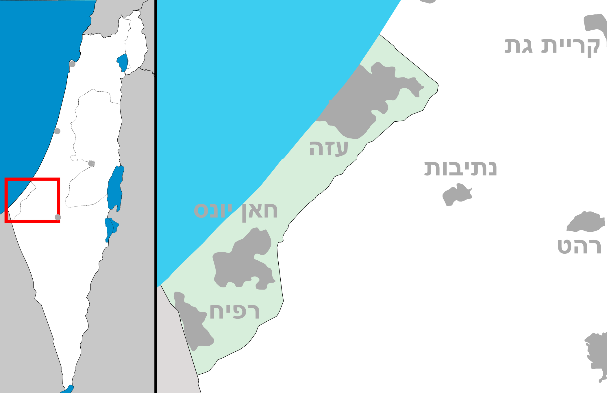
English: Map of Gaza strip and West Negev area. עברית: מפה של איזור רצועת עזה ומערב הנגב. |
| Date | (UTC) |
| Source | Own work |
| Author | Costello |
Licensing
I, the copyright holder of this work, hereby publish it under the following licenses:
This file is licensed under the Creative Commons Attribution-Share Alike 3.0 Unported license.
- You are free:
- to share – to copy, distribute and transmit the work
- to remix – to adapt the work
- Under the following conditions:
- attribution – You must give appropriate credit, provide a link to the license, and indicate if changes were made. You may do so in any reasonable manner, but not in any way that suggests the licensor endorses you or your use.
- share alike – If you remix, transform, or build upon the material, you must distribute your contributions under the same or compatible license as the original.

|
Permission is granted to copy, distribute and/or modify this document under the terms of the GNU Free Documentation License, Version 1.2 or any later version published by the Free Software Foundation; with no Invariant Sections, no Front-Cover Texts, and no Back-Cover Texts. A copy of the license is included in the section entitled GNU Free Documentation License. |
You may select the license of your choice.
File history
Click on a date/time to view the file as it appeared at that time.
| Date/Time | Thumbnail | Dimensions | User | Comment | |
|---|---|---|---|---|---|
| current | 08:11, 28 October 2008 | | 2,100 × 1,360 (99 KB) | Costello | {{Information |Description={{en|1=Map of Gaza strip and West Negev area}} {{he|1=מפה של איזור רצועת עזה ומערב הנגב}} |Source=Own work by uploader |Author=Costello |Date=~~~~~ |Permission= |other_versions= }} < |
File usage
No pages on the English Wikipedia use this file (pages on other projects are not listed).
Global file usage
The following other wikis use this file:
- Usage on es.wikipedia.org
- Usage on fa.wikipedia.org
- Usage on he.wikipedia.org
- נצרים
- אופקים
- בית קמה
- גבולות
- נתיבות
- רהט
- שדרות
- חולית (קיבוץ)
- כפר עזה
- מועצה אזורית אשכול
- עזה
- רפיח
- רנן
- רוחמה
- אור הנר
- בדולח (יישוב)
- בני עצמון
- נוה דקלים
- קטיף (מושב)
- תקומה
- מועצה אזורית מרחבים
- מועצה אזורית בני שמעון
- שוקדה
- ארז (קיבוץ)
- נחל גרר
- מבצע חץ שחור
- חצרים
- בסיס חצרים
- תל הרור
- תל שרע
- מלילות
- חורבת פטיש
- תושיה (יישוב)
- כפר מימון
- מעגלים
- שרשרת (מושב)
- גבעולים
- שיבולים
- שובה
- זמרת (מושב)
- תאשור
- תדהר
- מסלול (מושב)
- תלמי אליהו
- תפרח
- חורבת מנוח
- תל גמה
View more global usage of this file.