
File:Grosmont Town Hall (geograph 6004514) (cropped).jpg
Size of this preview: 471 × 599 pixels. Other resolutions: 189 × 240 pixels | 585 × 744 pixels.
Original file (585 × 744 pixels, file size: 83 KB, MIME type: image/jpeg)
| This is a file from the Wikimedia Commons. Information from its description page there is shown below. Commons is a freely licensed media file repository. You can help. |
_(cropped).jpg)
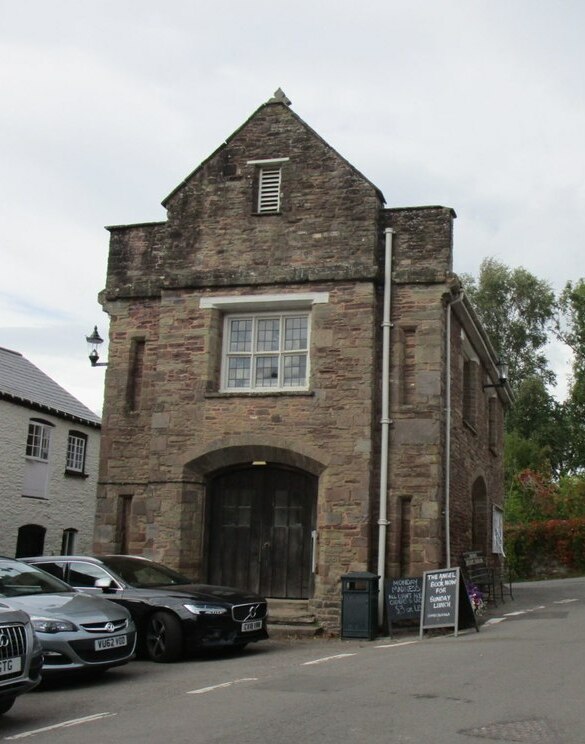
Summary
| Description | Grosmont Town Hall |
| Date | |
| Source |
This file was derived from: Grosmont Town Hall (geograph 6004514).jpg |
| Author | Jonathan Thacker |
| Permission (Reusing this file) |
This file is licensed under the Creative Commons Attribution-Share Alike 2.0 Generic license. Attribution: Jonathan Thacker
|
| Attribution (required by the license) | Jonathan Thacker / Grosmont Town Hall / |
.jpg)
| Camera location | | View this and other nearby images on: OpenStreetMap |
|---|
_(cropped).jpg¶ms=051.914610_N_-002.867300_E_globe:Earth_type:camera_source:geograph-osgb36(SO40442436)_region:GB-EAW_heading:315.00&language=en)
| Object location | | View this and other nearby images on: OpenStreetMap |
|---|
_(cropped).jpg¶ms=051.914700_N_-002.867400_E_globe:Earth_class:object_type:object_source:geograph-osgb36(SO40432437)_region:GB-EAW_heading:315.00&language=en)
| This is a retouched picture, which means that it has been digitally altered from its original version. Modifications: cropped. The original can be viewed here: Grosmont Town Hall (geograph 6004514).jpg:
|
File history
Click on a date/time to view the file as it appeared at that time.
| Date/Time | Thumbnail | Dimensions | User | Comment | |
|---|---|---|---|---|---|
| current | 21:26, 13 December 2023 | | 585 × 744 (83 KB) | Bjh21 | Re-cropped from higher-resolution version: File:Grosmont Town Hall (geograph 6004514).jpg cropped 43 % horizontally, < 1 % vertically using CropTool with lossless mode. |
| 22:49, 3 June 2022 |  | 457 × 581 (98 KB) | Dormskirk | {{Information |Description =Grosmont Town Hall |Source =*File:Grosmont Town Hall (geograph 6004514).jpg |Author =Jonathan Thacker |Date =14 September 2018 |Permission ={{PD-user|Jonathan Thacker}} |other_versions = }} {{RetouchedPicture|cropped|editor=Dormskirk|orig=Grosmont Town Hall (geograph 6004514).jpg}} Category:Grosmont Town Hall |
.jpg)
File usage
The following pages on the English Wikipedia use this file (pages on other projects are not listed):
_(cropped).jpg)