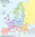
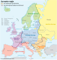
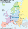
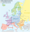
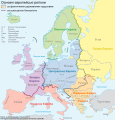
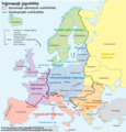
File:Grossgliederung Europas-fr.svg
Appearance

Size of this PNG preview of this SVG file: 577 × 599 pixels. Other resolutions: 231 × 240 pixels | 462 × 480 pixels | 740 × 768 pixels | 986 × 1,024 pixels | 1,973 × 2,048 pixels | 683 × 709 pixels.
Original file (SVG file, nominally 683 × 709 pixels, file size: 939 KB)
File history
Click on a date/time to view the file as it appeared at that time.
| Date/Time | Thumbnail | Dimensions | User | Comment | |
|---|---|---|---|---|---|
| current | 21:23, 18 August 2024 |  | 683 × 709 (939 KB) | Ddjahh | corrections et améliorations diverses (dont coquilles) |
| 15:08, 11 June 2021 |  | 683 × 709 (938 KB) | Martin Tauchman | Geographical name of Czechia | |
| 23:37, 29 May 2020 |  | 683 × 709 (926 KB) | Andreas | File uploaded using svgtranslate tool (https://svgtranslate.toolforge.org/). Added translation for rm. | |
| 18:57, 30 July 2008 | 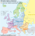 | 683 × 709 (855 KB) | Lycaon | Reverted to version as of 00:13, 17 June 2008 | |
| 14:08, 30 July 2008 |  | 683 × 709 (855 KB) | NordNordWest | Reverted to version as of 00:13, 17 June 2008, Turkey completely europeen just political intention of User:European Boy | |
| 00:13, 17 June 2008 |  | 683 × 709 (855 KB) | MaCRoEco | == Beschreibung == {{Information |Description= {{de|Großgliederung Europas, Vorschlag des Ständigen Ausschuss für geographische Namen (StAGN), deutsche SVG-Version}} {{en|European regions as propose |
File usage
The following page uses this file:
Global file usage
The following other wikis use this file:
- Usage on fr.wikipedia.org
- Usage on ht.wikipedia.org


