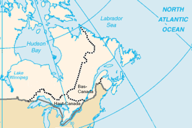
File:Haut et Bas-Canada2.png
Appearance

Size of this preview: 800 × 532 pixels. Other resolutions: 320 × 213 pixels | 640 × 425 pixels | 1,024 × 680 pixels | 1,252 × 832 pixels.
Original file (1,252 × 832 pixels, file size: 655 KB, MIME type: image/png)
File history
Click on a date/time to view the file as it appeared at that time.
| Date/Time | Thumbnail | Dimensions | User | Comment | |
|---|---|---|---|---|---|
| current | 14:04, 18 July 2009 |  | 1,252 × 832 (655 KB) | Jeangagnon | fond |
| 13:54, 18 July 2009 |  | 1,252 × 832 (655 KB) | Jeangagnon | Déplacement des mots: ''Haut-Canada'' et ''Bas-Canada'', pour mieux saisir l'emplacement exact. | |
| 02:46, 16 August 2005 |  | 313 × 208 (21 KB) | Colocho | Image du Haut et du Bas-Canada lors de l'acte constitutionnel de 1791. Créée à partir d'une image de la CIA par Colocho {{PD-USGov-CIA-WF}} Category:Maps of Canada |
File usage
The following 3 pages use this file:
Global file usage
The following other wikis use this file:
- Usage on az.wikipedia.org
- Usage on ca.wikipedia.org
- Usage on es.wikipedia.org
- Usage on fr.wikipedia.org
- Usage on it.wikipedia.org
- Usage on pl.wikipedia.org
- Usage on ro.wikipedia.org
- Usage on ru.wikipedia.org
- Usage on sv.wikipedia.org
- Usage on uk.wikipedia.org

