
File:Hermon location map.svg

Size of this PNG preview of this SVG file: 725 × 600 pixels. Other resolutions: 290 × 240 pixels | 581 × 480 pixels | 929 × 768 pixels | 1,238 × 1,024 pixels | 2,477 × 2,048 pixels | 1,000 × 827 pixels.
Original file (SVG file, nominally 1,000 × 827 pixels, file size: 1.37 MB)
| This is a file from the Wikimedia Commons. Information from its description page there is shown below. Commons is a freely licensed media file repository. You can help. |
| Description |
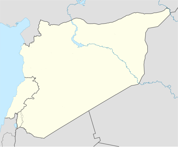
Deutsch: Lageplan für Mount Hermon. Positionskarte von Syrien und Libanon. Quadratische Plattkarte, N-S-Streckung 115 %. Geographische Begrenzung der Karte: * N: 37.6° N * S: 32.0° N * W: 34.9° O * O: 42.7° O
English: Location map for Mount Hermon. The summit straddles the border between Syria and Lebanon, which are highlighted. Geographic limits of the map: * N: 37.6° N * S: 32.0° N * W: 34.9° E * E: 42.7° E |
| Date | (UTC) |
| Source | |
| Author |
|
| This is a retouched picture, which means that it has been digitally altered from its original version. Modifications: Higlighted Lebanon, other minor changes.. The original can be viewed here: Syria location map.svg:
|
I, the copyright holder of this work, hereby publish it under the following licenses:
This file is licensed under the Creative Commons Attribution-Share Alike 3.0 Unported license.
- You are free:
- to share – to copy, distribute and transmit the work
- to remix – to adapt the work
- Under the following conditions:
- attribution – You must give appropriate credit, provide a link to the license, and indicate if changes were made. You may do so in any reasonable manner, but not in any way that suggests the licensor endorses you or your use.
- share alike – If you remix, transform, or build upon the material, you must distribute your contributions under the same or compatible license as the original.

|
Permission is granted to copy, distribute and/or modify this document under the terms of the GNU Free Documentation License, Version 1.2 or any later version published by the Free Software Foundation; with no Invariant Sections, no Front-Cover Texts, and no Back-Cover Texts. A copy of the license is included in the section entitled GNU Free Documentation License. |
You may select the license of your choice.
Original upload log
This image is a derivative work of the following images:
- File:Syria_location_map.svg licensed with Cc-by-sa-3.0, GFDL
- 2010-09-30T19:34:14Z NordNordWest 922x762 (250221 Bytes) Reverted to version as of 08:25, 29 September 2010: NO CHANGES WITHOUT DISCUSSION
- 2010-09-30T19:08:16Z Supreme Deliciousness 1000x827 (246114 Bytes) All sources on talkpage show with the same color
- 2010-09-29T08:25:21Z NordNordWest 922x762 (250221 Bytes) Reverted to version as of 18:29, 29 November 2008: no changes without discussion
- 2010-09-29T00:36:20Z Supreme Deliciousness 1000x827 (246114 Bytes) Reverted to version as of 18:38, 22 August 2008
- 2008-11-29T18:29:45Z NordNordWest 922x762 (250221 Bytes)
- 2008-08-22T18:38:21Z NordNordWest 1000x827 (246114 Bytes) {{Information |Description= {{de|Positionskarte von [[:de:Syrien|Syrien]]}} Quadratische Plattkarte, N-S-Streckung 115 %. Geographische Begrenzung der Karte: * N: 37.6° N * S: 32.0° N * W: 34.9° O * O: 42.7° O {{en|Locati
Uploaded with derivativeFX
File history
Click on a date/time to view the file as it appeared at that time.
| Date/Time | Thumbnail | Dimensions | User | Comment | |
|---|---|---|---|---|---|
| current | 18:13, 21 January 2011 | | 1,000 × 827 (1.37 MB) | Supreme Deliciousness | {{Information |Description={{de|Positionskarte von Syrien. De-facto-Situation.}} Quadratische Plattkarte, N-S-Streckung 115 %. Geographische Begrenzung der Karte: * N: 37.6° N * S: 32.0° N * W: 34.9° O * O: 42.7° O {{en|Location map of |
File usage
The following pages on the English Wikipedia use this file (pages on other projects are not listed):
Global file usage
The following other wikis use this file:
- Usage on ar.wikipedia.org
- Usage on fr.wikipedia.org
- Usage on si.wikipedia.org