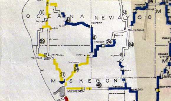
File:M-41 1919 map.png
Appearance
M-41_1919_map.png (580 × 344 pixels, file size: 453 KB, MIME type: image/png)
File history
Click on a date/time to view the file as it appeared at that time.
| Date/Time | Thumbnail | Dimensions | User | Comment | |
|---|---|---|---|---|---|
| current | 04:46, 23 February 2011 |  | 580 × 344 (453 KB) | Imzadi1979 | == {{int:filedesc}} == {{Information |Description= A section of the ''State of Michigan: Lower Peninsula'' map, showing M-41 in in Michigan. |Source=w:Michigan State Highway Department |Date=1919-07-01 |Author=[[w:Michigan State Highwa |
File usage
The following page uses this file:
Global file usage
The following other wikis use this file:
- Usage on bn.wikipedia.org
- Usage on www.wikidata.org

