
File:MA towns.png

Size of this preview: 800 × 491 pixels. Other resolutions: 320 × 196 pixels | 640 × 393 pixels | 1,024 × 629 pixels | 1,280 × 786 pixels | 2,560 × 1,571 pixels | 12,103 × 7,429 pixels.
Original file (12,103 × 7,429 pixels, file size: 3.32 MB, MIME type: image/png)
| This is a file from the Wikimedia Commons. Information from its description page there is shown below. Commons is a freely licensed media file repository. You can help. |
| Warning | The original file is very high-resolution. It might not load properly or could cause your browser to freeze when opened at full size. |
|---|
| This work has been released into the public domain by its author, SPUI. This applies worldwide. In some countries this may not be legally possible; if so: |
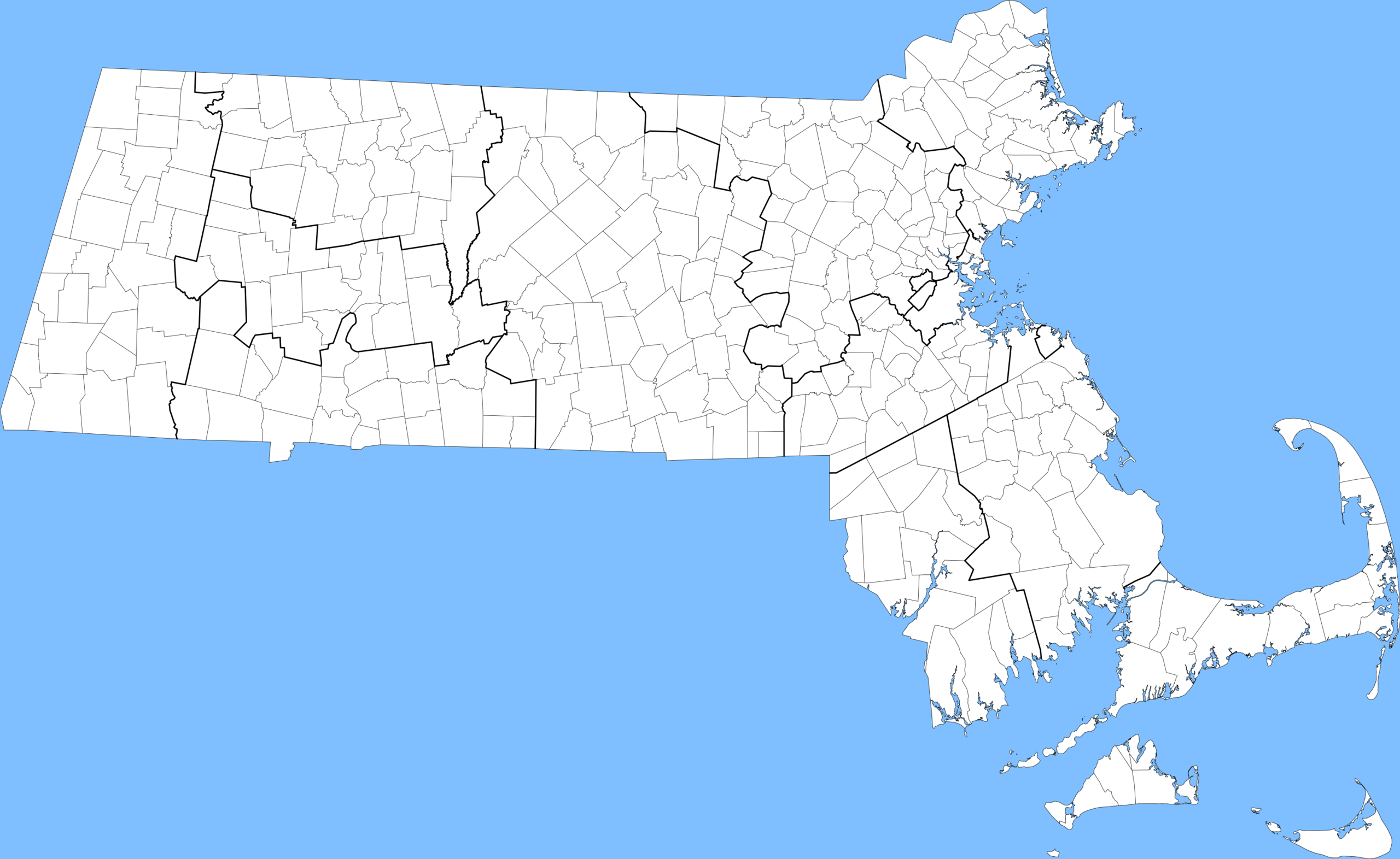
Towns in Massachusetts, with county lines bolded.
File history
Click on a date/time to view the file as it appeared at that time.
| Date/Time | Thumbnail | Dimensions | User | Comment | |
|---|---|---|---|---|---|
| current | 15:30, 25 May 2005 | | 12,103 × 7,429 (3.32 MB) | SPUI~commonswiki | {{spuimap}} Towns in Massachusetts, with county lines bolded. Data source: [http://www.mass.gov/mgis/download.htm Office of Geographic and Environmental Information (MassGIS), Commonwealth of Massachusetts Executive Office of Environmental Affairs] [[cat |
File usage
No pages on the English Wikipedia use this file (pages on other projects are not listed).