
File:Map NL - Druten - Horssen.png
No higher resolution available.
Map_NL_-_Druten_-_Horssen.png (800 × 600 pixels, file size: 245 KB, MIME type: image/png)
| This is a file from the Wikimedia Commons. Information from its description page there is shown below. Commons is a freely licensed media file repository. You can help. |
Summary
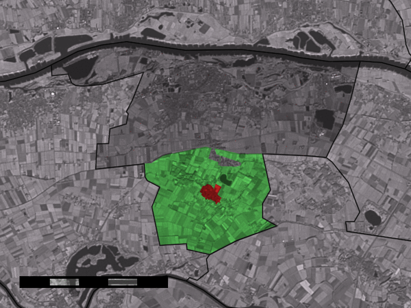
| Description |
English: Map of Horssen, municipality of Druten, the Netherlands. |
|||
| Source | Satellite image: Landsat 7 (public domain). | |||
| Author | user:Eugene van der Pijll | |||
| Permission (Reusing this file) |
|

File history
Click on a date/time to view the file as it appeared at that time.
| Date/Time | Thumbnail | Dimensions | User | Comment | |
|---|---|---|---|---|---|
| current | 20:08, 3 July 2006 | | 800 × 600 (245 KB) | Eugene van der Pijll | Map of Horssen, municipality of Druten, the Netherlands. Satellite image: Landsat 7 (public domain). {{Statistics Netherlands map}} Category:Maps of Gelderland |
File usage
No pages on the English Wikipedia use this file (pages on other projects are not listed).
Global file usage
The following other wikis use this file: