
File:Map South Korea de.png
Size of this preview: 522 × 600 pixels. Other resolutions: 209 × 240 pixels | 591 × 679 pixels.
Original file (591 × 679 pixels, file size: 59 KB, MIME type: image/png)
| This is a file from the Wikimedia Commons. Information from its description page there is shown below. Commons is a freely licensed media file repository. You can help. |
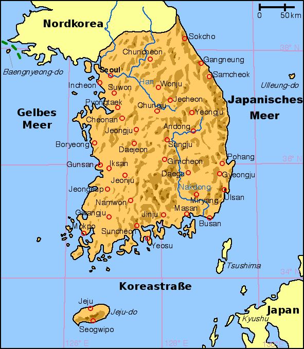
Summary
English: Map of South Korea with German labels
Deutsch: Karte von Südkorea mit deutscher Beschriftung
English: Other versions: Image:Map South Korea blank.png
English: From en:Image:Korea south map.png, created by en:User:Kokiri (small modifications by myself).
Licensing
| This file is licensed under the Creative Commons Attribution-Share Alike 3.0 Unported license. Subject to disclaimers. | ||
| ||
| This licensing tag was added to this file as part of the GFDL licensing update. |

|
Permission is granted to copy, distribute and/or modify this document under the terms of the GNU Free Documentation License, Version 1.2 or any later version published by the Free Software Foundation; with no Invariant Sections, no Front-Cover Texts, and no Back-Cover Texts. A copy of the license is included in the section entitled GNU Free Documentation License. Subject to disclaimers. |
File history
Click on a date/time to view the file as it appeared at that time.
| Date/Time | Thumbnail | Dimensions | User | Comment | |
|---|---|---|---|---|---|
| current | 20:25, 26 January 2009 | | 591 × 679 (59 KB) | Valentim | Namensdarstellung des Japanischen Meeres aufgrund w:de:Wikipedia:Namensgebung#Anderssprachige_Gebiete geändert. |
| 17:00, 10 November 2008 |  | 591 × 679 (57 KB) | Slomox | ||
| 13:27, 28 November 2005 |  | 591 × 679 (29 KB) | IGEL | {{en|Map of South Korea with German labels}} {{de|Karte von Südkorea mit deutscher Beschriftung}} {{en|Other versions: Image:Map South Korea blank.png}} {{en|From en:Image:Korea south map.png, created by en:User:Kokiri (small modification |
File usage
No pages on the English Wikipedia use this file (pages on other projects are not listed).
Global file usage
The following other wikis use this file:
- Usage on de.wikipedia.org
- Usage on de.wikinews.org
- Usage on de.wiktionary.org