
File:Map fr duchy of Gascony 1150.svg

Size of this PNG preview of this SVG file: 713 × 590 pixels. Other resolutions: 290 × 240 pixels | 580 × 480 pixels | 928 × 768 pixels | 1,238 × 1,024 pixels | 2,475 × 2,048 pixels.
Original file (SVG file, nominally 713 × 590 pixels, file size: 447 KB)
| This is a file from the Wikimedia Commons. Information from its description page there is shown below. Commons is a freely licensed media file repository. You can help. |
Summary
| Description |
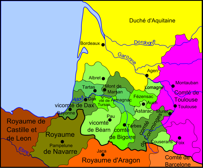
English: Map of duchy of Gascony in 1150
Français : Carte du duché de Gascogne en 1150 |
| Date | |
| Source |
travail personnel (own work) Le royaume de France entre 1154 et 1184, Historical Atlas, William R. Shepherd, 1911, sur le site de l'université du Texas |
| Author | Odejea |
Licensing
I, the copyright holder of this work, hereby publish it under the following licenses:

|
Permission is granted to copy, distribute and/or modify this document under the terms of the GNU Free Documentation License, Version 1.2 or any later version published by the Free Software Foundation; with no Invariant Sections, no Front-Cover Texts, and no Back-Cover Texts. A copy of the license is included in the section entitled GNU Free Documentation License. |
This file is licensed under the Creative Commons Attribution-Share Alike 3.0 Unported, 2.5 Generic, 2.0 Generic and 1.0 Generic license.
- You are free:
- to share – to copy, distribute and transmit the work
- to remix – to adapt the work
- Under the following conditions:
- attribution – You must give appropriate credit, provide a link to the license, and indicate if changes were made. You may do so in any reasonable manner, but not in any way that suggests the licensor endorses you or your use.
- share alike – If you remix, transform, or build upon the material, you must distribute your contributions under the same or compatible license as the original.
You may select the license of your choice.
File history
Click on a date/time to view the file as it appeared at that time.
| Date/Time | Thumbnail | Dimensions | User | Comment | |
|---|---|---|---|---|---|
| current | 18:56, 27 November 2008 | | 713 × 590 (447 KB) | Odejea | Nouvel essai, il fait vraiment chier ce bug avec le texte en SVG |
| 18:52, 27 November 2008 |  | 713 × 590 (453 KB) | Odejea | Nouvel essai | |
| 06:56, 27 November 2008 |  | 708 × 584 (424 KB) | Odejea | supression rectangle noir | |
| 06:44, 27 November 2008 |  | 708 × 584 (424 KB) | Odejea | supression rectangle noir | |
| 06:41, 27 November 2008 |  | 708 × 584 (424 KB) | Odejea | {{Information |Description={{en|1=Map of duchy of Gascony in 1150}} {{fr|1=Carte du duché de Gascogne en 1150}} |Source=travail personnel (own work) |Author=Odejea |Date=27 novembre 2008 |Permiss |
File usage
The following pages on the English Wikipedia use this file (pages on other projects are not listed):
Global file usage
The following other wikis use this file:
- Usage on br.wikipedia.org
- Usage on ca.wikipedia.org
- Usage on de.wikipedia.org
- Usage on el.wikipedia.org
- Usage on fr.wikipedia.org
- Usage on fr.wiktionary.org
- Usage on hr.wikipedia.org
- Usage on hu.wikipedia.org
- Usage on it.wikipedia.org
- Usage on no.wikipedia.org
- Usage on pl.wikipedia.org
- Usage on ru.wikipedia.org
- Usage on sl.wikipedia.org
- Usage on sv.wikipedia.org