
File:Map of Arabia showing route of Theodore Bent.jpg

Size of this preview: 746 × 600 pixels. Other resolutions: 299 × 240 pixels | 597 × 480 pixels | 955 × 768 pixels | 1,273 × 1,024 pixels | 2,400 × 1,930 pixels.
Original file (2,400 × 1,930 pixels, file size: 465 KB, MIME type: image/jpeg)
| This is a file from the Wikimedia Commons. Information from its description page there is shown below. Commons is a freely licensed media file repository. You can help. |
Summary
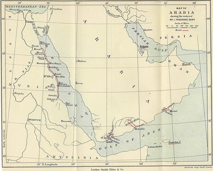
| Description | Map of Arabia showing route of Theodore Bent |
| Date | |
| Source | Southern Arabia |
| Author | Theodore Bent, F.R.G.S., F.S.A. (book) |
| Permission (Reusing this file) |
Copyright expired |
Licensing
| This image comes from the Project Gutenberg archives. This is an image that has come from a book or document for which the American copyright has expired and this image is in the public domain in the United States and possibly other countries.
This eBook is for the use of anyone anywhere at no cost and with almost no restrictions whatsoever. You may copy it, give it away or re-use it under the terms of the Project Gutenberg License included with this eBook or online at www.gutenberg.net. |
File history
Click on a date/time to view the file as it appeared at that time.
| Date/Time | Thumbnail | Dimensions | User | Comment | |
|---|---|---|---|---|---|
| current | 20:30, 23 May 2007 | | 2,400 × 1,930 (465 KB) | Grenavitar | {{Information |Description = Map of Arabia showing route of Theodore Bent |Source = ''[http://www.gutenberg.org/etext/21569 Southern Arabia]'' |Date = 1900 |Author = Theodore Bent, F.R.G.S., F.S.A. (book) |Permission = |
File usage
The following pages on the English Wikipedia use this file (pages on other projects are not listed):
Global file usage
The following other wikis use this file:
- Usage on de.wikipedia.org
- Usage on hy.wikipedia.org
- Usage on tr.wikipedia.org