
File:Map of the Mariana Islands by Alonso Lopez, 1764.jpg
Size of this preview: 458 × 599 pixels. Other resolutions: 183 × 240 pixels | 367 × 480 pixels | 1,001 × 1,309 pixels.
Original file (1,001 × 1,309 pixels, file size: 301 KB, MIME type: image/jpeg)
| This is a file from the Wikimedia Commons. Information from its description page there is shown below. Commons is a freely licensed media file repository. You can help. |
Summary
| Description |
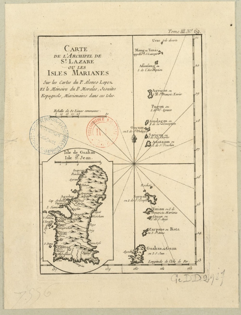
English: "Map of the Saint Lazarus Archipelago, or the Mariana Islands. Maps by P. Alonso Lopez and Memoir by P. Morales, Spanish Jesuits, Missionaries to the Islands." French language map of Guam and the Northern Mariana Islands. |
| Date | |
| Source | https://gallica.bnf.fr/ark:/12148/btv1b5963291r |
| Author | Alonso Lopez |
| Other versions |
.jpg)
Licensing
|
This work is in the public domain in its country of origin and other countries and areas where the copyright term is the author's life plus 70 years or fewer. This work is in the public domain in the United States because it was published (or registered with the U.S. Copyright Office) before January 1, 1929. | |
| This file has been identified as being free of known restrictions under copyright law, including all related and neighboring rights. | |
File history
Click on a date/time to view the file as it appeared at that time.
| Date/Time | Thumbnail | Dimensions | User | Comment | |
|---|---|---|---|---|---|
| current | 04:57, 19 June 2020 | | 1,001 × 1,309 (301 KB) | Featous | Uploaded a work by Alonso Lopez from https://gallica.bnf.fr/ark:/12148/btv1b5963291r with UploadWizard |
File usage
No pages on the English Wikipedia use this file (pages on other projects are not listed).