
File:Map world middle east.svg

Size of this PNG preview of this SVG file: 800 × 353 pixels. Other resolutions: 320 × 141 pixels | 640 × 283 pixels | 1,024 × 452 pixels | 1,280 × 565 pixels | 2,560 × 1,130 pixels | 940 × 415 pixels.
Original file (SVG file, nominally 940 × 415 pixels, file size: 1.46 MB)
| This is a file from the Wikimedia Commons. Information from its description page there is shown below. Commons is a freely licensed media file repository. You can help. |
Summary
| Description |
|
| Date | 9 May 2008 (original upload date) |
| Source | No machine-readable source provided. Own work assumed (based on copyright claims). |
| Author | No machine-readable author provided. Applysense assumed (based on copyright claims). |
Licensing
| I, the copyright holder of this work, release this work into the public domain. This applies worldwide. In some countries this may not be legally possible; if so: I grant anyone the right to use this work for any purpose, without any conditions, unless such conditions are required by law. |
File history
Click on a date/time to view the file as it appeared at that time.
| Date/Time | Thumbnail | Dimensions | User | Comment | |
|---|---|---|---|---|---|
| current | 20:47, 22 August 2008 | | 940 × 415 (1.46 MB) | Lycaon | Reverted to version as of 22:06, 1 August 2008 |
| 22:06, 1 August 2008 |  | 940 × 415 (1.46 MB) | Lycaon | Reverted to version as of 20:11, 9 May 2008 | |
| 19:53, 30 July 2008 |  | 940 × 415 (1.46 MB) | Lycaon | Reverted to version as of 20:11, 9 May 2008 | |
| 20:11, 9 May 2008 |  | 940 × 415 (1.46 MB) | Applysense | add palestinian territories | |
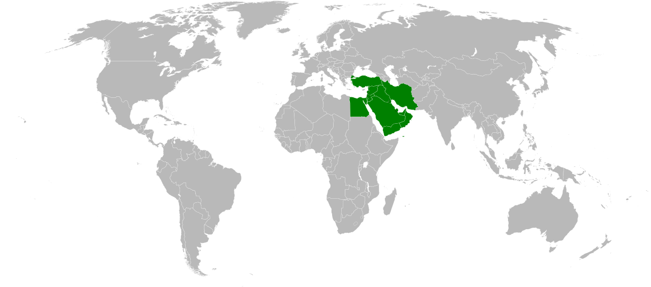
| 13:08, 9 May 2008 |  | 940 × 415 (1.46 MB) | Applysense | ==Summary== :'''Description''': Map of Countries of the Middle East. :'''Beschreibung''': Karte von Ländern des Nahen Ostens. :Based on Image:BlankMap-World6, compact.svg, country information from Image:Map-World-Middle-East.png |
File usage
No pages on the English Wikipedia use this file (pages on other projects are not listed).
Global file usage
The following other wikis use this file:
- Usage on an.wikipedia.org
- Usage on eu.wikipedia.org
- Asia
- Pakistan
- Txinako Herri Errepublika
- Errusia
- India
- Turkia
- Ekialdeko Timor
- Hego Korea
- Indonesia
- Ipar Korea
- Iran
- Japonia
- Jordania
- Kazakhstan
- Laos
- Maldivak
- Qatar
- Saudi Arabia
- Singapur
- Sri Lanka
- Taiwan
- Turkmenistan
- Vietnam
- Yemen
- Ekialde Hurbila
- Malaysia
- Txantiloi:Asiako herrialde eta lurralde aurkibidea
- Hegoaldeko Asia
- Hego-ekialdeko Asia
- Hego-mendebaldeko Asia
- Ekialde Urruna
- Asia-Pazifikoa
- Indiako Ozeanoko Britainiar Lurraldea
- Palestinako Estatua
- Usage on fr.wikinews.org
View more global usage of this file.