
File:NY 413 topo map.jpg

Size of this preview: 265 × 598 pixels. Other resolutions: 106 × 240 pixels | 374 × 844 pixels.
Original file (374 × 844 pixels, file size: 386 KB, MIME type: image/jpeg)
| This is a file from the Wikimedia Commons. Information from its description page there is shown below. Commons is a freely licensed media file repository. You can help. |
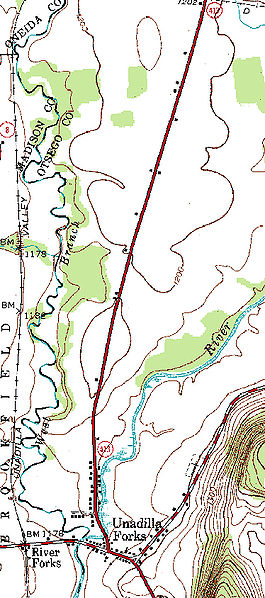
| Description | 1943 topographic section of New York State Route 413 |
| Date | |
| Source | New York state GIS |
| Author | United states geological survey (edited by Seddon69) |
This image is in the public domain in the United States because it only contains materials that originally came from the United States Geological Survey, an agency of the United States Department of the Interior. For more information, see the official USGS copyright policy.
|
File history
Click on a date/time to view the file as it appeared at that time.
| Date/Time | Thumbnail | Dimensions | User | Comment | |
|---|---|---|---|---|---|
| current | 20:16, 6 May 2008 | | 374 × 844 (386 KB) | Seddon69 | {{Information |Description=1943 topographic section of New York State Route 413 |Source=[http://www.nysgis.state.ny.us/gisdata/quads/drg24/usgspreview/index.cfm?code=o42075g2 New York state GIS] |Date=2008-05-06 |Author=United states geological survey (ed |
File usage
The following pages on the English Wikipedia use this file (pages on other projects are not listed):