
File:Pieter van der Aa New England 1707.jpg
Size of this preview: 800 × 537 pixels. Other resolutions: 320 × 215 pixels | 640 × 430 pixels | 1,024 × 688 pixels | 1,456 × 978 pixels.
Original file (1,456 × 978 pixels, file size: 462 KB, MIME type: image/jpeg)
| This is a file from the Wikimedia Commons. Information from its description page there is shown below. Commons is a freely licensed media file repository. You can help. |
Summary
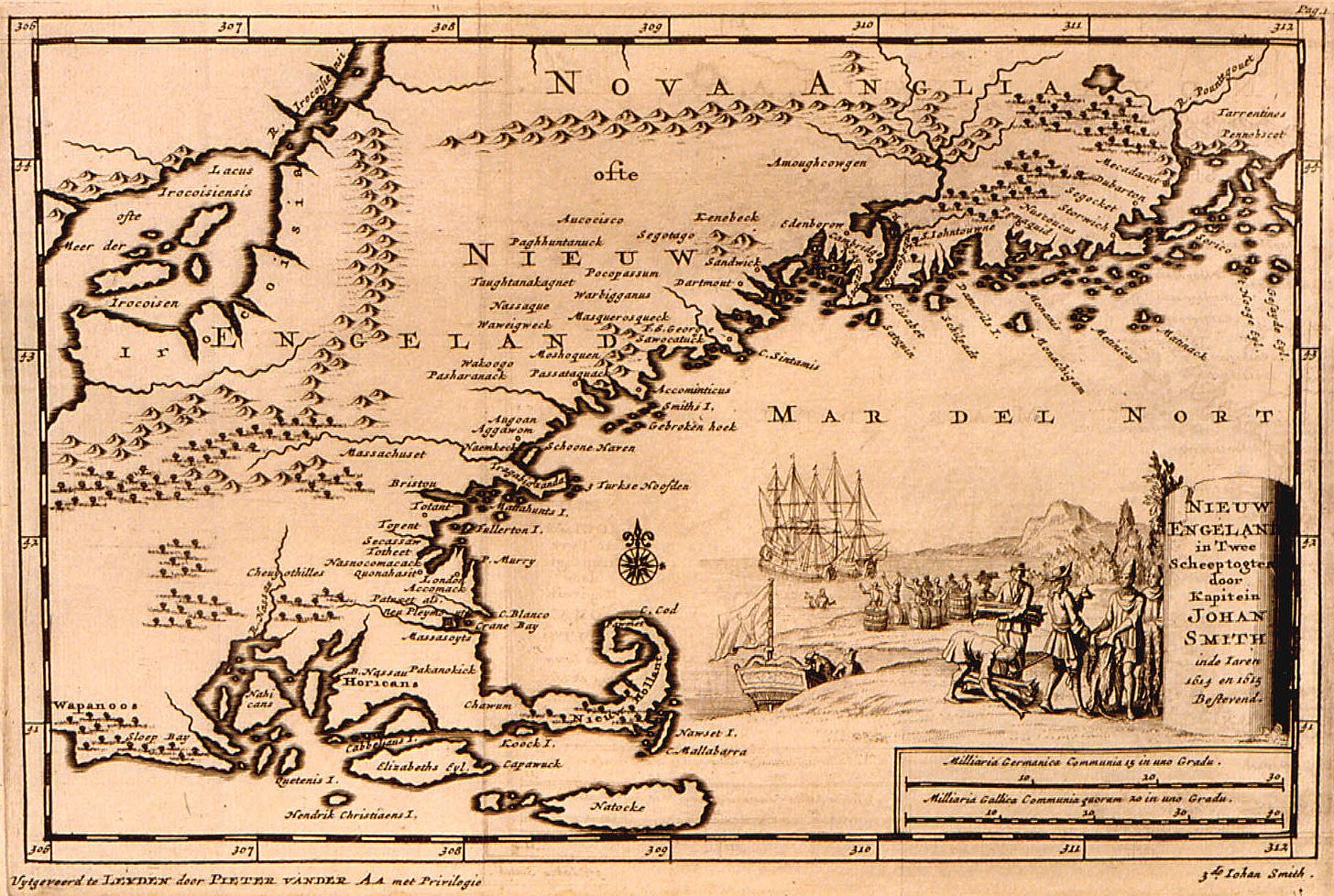
| Description | Historical map of New England |
| Date | |
| Source | http://www.usm.maine.edu/maps/exhibit10/10-12.jpg and http://www.usm.maine.edu/maps/exhibit10/10-01.html |
| Author | Pieter van der Aa |
| Permission (Reusing this file) |
PD-old |
Licensing
|
This work is in the public domain in its country of origin and other countries and areas where the copyright term is the author's life plus 100 years or fewer. | |
| This file has been identified as being free of known restrictions under copyright law, including all related and neighboring rights. | |
File history
Click on a date/time to view the file as it appeared at that time.
| Date/Time | Thumbnail | Dimensions | User | Comment | |
|---|---|---|---|---|---|
| current | 05:11, 19 July 2007 | | 1,456 × 978 (462 KB) | Jeeny~commonswiki | sharpened image |
| 05:08, 19 July 2007 |  | 1,456 × 978 (399 KB) | Jeeny~commonswiki | Cropped messy border that takes away from the image. | |
| 22:41, 19 December 2006 |  | 1,598 × 1,058 (458 KB) | JuTa | {{Information |Description=Historical map of New England |Source=http://www.usm.maine.edu/maps/exhibit10/10-12.jpg and http://www.usm.maine.edu/maps/exhibit10/10-01.html |Date=1707 |Author=Pieter van der Aa |Permission=PD-old |other_versions= }} == L |
File usage
No pages on the English Wikipedia use this file (pages on other projects are not listed).
Global file usage
The following other wikis use this file:
- Usage on br.wikipedia.org
- Usage on ro.wikipedia.org
- Usage on zh.wikipedia.org