
File:Plán Lhasy.jpg

Size of this preview: 800 × 587 pixels. Other resolutions: 320 × 235 pixels | 640 × 470 pixels | 1,039 × 763 pixels.
Original file (1,039 × 763 pixels, file size: 222 KB, MIME type: image/jpeg)
| This is a file from the Wikimedia Commons. Information from its description page there is shown below. Commons is a freely licensed media file repository. You can help. |
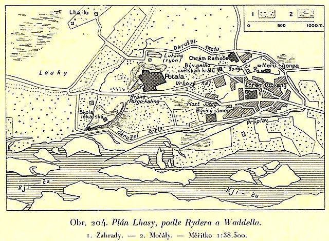
| Description | Map of Lhasa in the beginning of 20th century. The descriptions are in Czech. |
| Date | |
| Source | Book Zeměpis světa, díl osmý, Přední Asie a Vysoká Asie. Published by publishing house Aventinum in Prague. |
| Author | Unknown author |
Licensing
|
This is a faithful photographic reproduction of a two-dimensional, public domain work of art. The work of art itself is in the public domain for the following reason:
The official position taken by the Wikimedia Foundation is that "faithful reproductions of two-dimensional public domain works of art are public domain". This photographic reproduction is therefore also considered to be in the public domain in the United States. In other jurisdictions, re-use of this content may be restricted; see Reuse of PD-Art photographs for details. {{PD-Art}} template without license parameter: please specify why the underlying work is public domain in both the source country and the United States
(Usage: {{PD-Art|1=|deathyear=''year of author's death''|country=''source country''}}, where parameter 1= can be PD-old-auto, PD-old-auto-expired, PD-old-auto-1996, PD-old-100 or similar. See Commons:Multi-license copyright tags for more information.) | ||||
File history
Click on a date/time to view the file as it appeared at that time.
| Date/Time | Thumbnail | Dimensions | User | Comment | |
|---|---|---|---|---|---|
| current | 19:09, 24 September 2008 | | 1,039 × 763 (222 KB) | Geographus | {{Information |Description= Map of Lhasa in the beginning of 20th century. The descriptions are in Czech. |Source= Book Zeměpis světa, díl osmý, Přední Asie a Vysoká Asie. Published by publishing house Aventinum in Prague. |Date= 1932 |Author= Un |
File usage
The following page uses this file:
Global file usage
The following other wikis use this file:
- Usage on cs.wikipedia.org
- Usage on es.wikipedia.org
- Usage on fr.wikipedia.org