
File:Raleigh-durham-cary-csa-sept-2018.png
Size of this preview: 800 × 303 pixels. Other resolutions: 320 × 121 pixels | 640 × 243 pixels | 1,280 × 485 pixels.
Original file (1,280 × 485 pixels, file size: 153 KB, MIME type: image/png)
| This is a file from the Wikimedia Commons. Information from its description page there is shown below. Commons is a freely licensed media file repository. You can help. |
Summary
| Description |
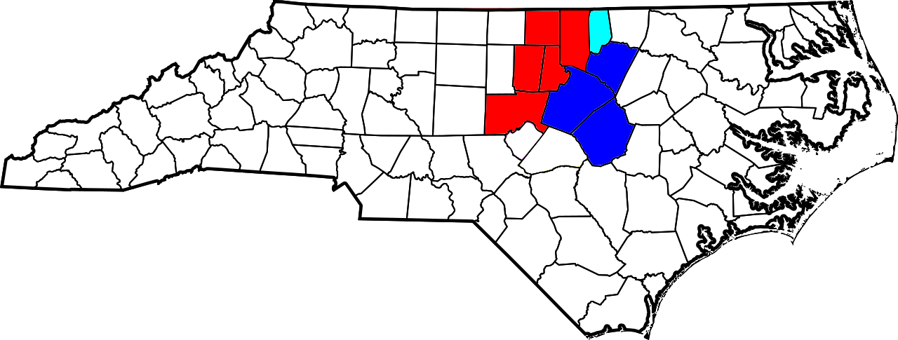
English: Map depicting the nine North Carolina counties that make up the Raleigh-Durham-Cary Combined Statistical Area, as defined by the U.S. Office of and Management and Budget in September 2018. Modified from File:Raleigh-Durham-ChapelHill-CSA.svg |
| Date | |
| Source | Own work |
| Author | WildCowboy |
Licensing
I, the copyright holder of this work, hereby publish it under the following license:
This file is licensed under the Creative Commons Attribution-Share Alike 4.0 International license.
- You are free:
- to share – to copy, distribute and transmit the work
- to remix – to adapt the work
- Under the following conditions:
- attribution – You must give appropriate credit, provide a link to the license, and indicate if changes were made. You may do so in any reasonable manner, but not in any way that suggests the licensor endorses you or your use.
- share alike – If you remix, transform, or build upon the material, you must distribute your contributions under the same or compatible license as the original.
File history
Click on a date/time to view the file as it appeared at that time.
| Date/Time | Thumbnail | Dimensions | User | Comment | |
|---|---|---|---|---|---|
| current | 04:10, 7 February 2020 | 1,280 × 485 (153 KB) | WildCowboy | User created page with UploadWizard |
File usage
No pages on the English Wikipedia use this file (pages on other projects are not listed).