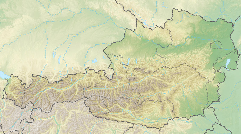
File:Reliefkarte Österreich.png
Appearance

Size of this preview: 800 × 445 pixels. Other resolutions: 320 × 178 pixels | 640 × 356 pixels | 1,024 × 570 pixels | 1,280 × 712 pixels | 3,464 × 1,928 pixels.
Original file (3,464 × 1,928 pixels, file size: 9.42 MB, MIME type: image/png)
File history
Click on a date/time to view the file as it appeared at that time.
| Date/Time | Thumbnail | Dimensions | User | Comment | |
|---|---|---|---|---|---|
| current | 13:53, 8 May 2018 |  | 3,464 × 1,928 (9.42 MB) | Tschubby | == {{int:filedesc}} == {{Information |Description= {{de| Reliefkarte Österreich}} Topographischer Hintergrund: [http://www2.jpl.nasa.gov/srtm NASA Shuttle Radar Topography Mission] (public domain). SRTM3 v.2. |Source={{own}} |Date= 2018-05-08 |Author= Tschubby |Permission= {{self|GFDL|Cc-by-sa-3.0-migrated|Cc-by-sa-2.5,2.0,1.0}} |other_versions= }} Category:Location maps of Austria Category:Topographic maps of Austria |
File usage
The following page uses this file:
Global file usage
The following other wikis use this file:
- Usage on bg.wikipedia.org
- Виена
- Райдинг
- Грац
- Линц
- Залцбург
- Инсбрук
- Браунау на Ин
- Тал (Австрия)
- Мюрццушлаг
- Цел ам Зее
- Шрунс
- Санкт Георген ан дер Гузен
- Дюрнкрут
- Гмунден
- Вайдхофен ан дер Тая
- Пьохларн
- Тулн на Дунав
- Хохфилцен
- Шьонбрун
- Клагенфурт ам Вьортерзе
- Оберндорф бай Залцбург
- Винер Нойщат
- Брегенц
- Санкт Пьолтен
- Аниф
- Шаблон:ПК Австрия
- Амщетен
- Енс (град)
- Йойс
- Нойзидъл ам Зее
- Ебс
- Ункен
- Фрайщат
- Хорн (Австрия)
- Щайр
- Юденбург
- Велс
- Йенбах
- Дорнбирн
- Лустенау
- Хард
- Фелдкирх
- Имст
- Цамс
- Цирл
- Блуденц
- Хоенемс
- Алтах
- Гьоцис
- Фрастанц
View more global usage of this file.

