
File:Samuel Henry Davis House site.jpg
Size of this preview: 800 × 450 pixels. Other resolutions: 320 × 180 pixels | 640 × 360 pixels | 1,024 × 576 pixels | 1,280 × 720 pixels | 2,816 × 1,584 pixels.
Original file (2,816 × 1,584 pixels, file size: 1.53 MB, MIME type: image/jpeg)
| This is a file from the Wikimedia Commons. Information from its description page there is shown below. Commons is a freely licensed media file repository. You can help. |
|
This is an image of a place or building that is listed on the National Register of Historic Places in the United States of America. Its reference number is 79002692. |
| Camera location | | View this and other nearby images on: OpenStreetMap |
|---|
| Description |
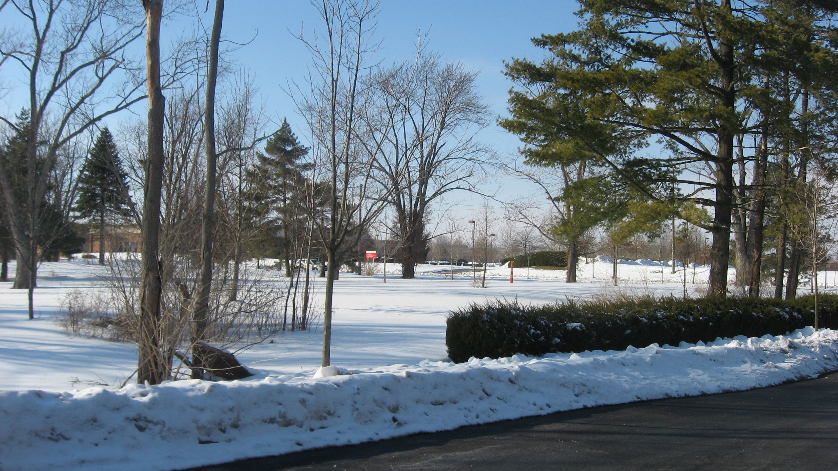
English: Land on the southern side of Rings Road in Dublin, Ohio, United States. This was once the site of the Samuel Henry Davis House, which was built in 1860 and listed on the National Register of Historic Places in 1979; although it has been destroyed, it is still listed on the Register. |
||
| Date | Taken on 15 February 2014 | ||
| Source | Own work | ||
| Author | Nyttend | ||
| Permission (Reusing this file) |
|
File history
Click on a date/time to view the file as it appeared at that time.
| Date/Time | Thumbnail | Dimensions | User | Comment | |
|---|---|---|---|---|---|
| current | 02:37, 6 March 2014 | | 2,816 × 1,584 (1.53 MB) | Nyttend | {{NRHP|79002692}} {{Location|40|5|2|N|83|7|41|W}} {{Information |Description={{en|Land on the southern side of Rings Road in {{w|Dublin, Ohio|Dublin}}, {{w|Ohio}}, {{w|United States}}. This was once the site of the {{w|Samuel Henry Davis House}}, whic... |
File usage
The following pages on the English Wikipedia use this file (pages on other projects are not listed):