
File:Stockholms skärgård annotated.png
Size of this preview: 514 × 600 pixels. Other resolutions: 206 × 240 pixels | 411 × 480 pixels | 658 × 768 pixels | 878 × 1,024 pixels | 1,755 × 2,048 pixels | 3,000 × 3,500 pixels.
Original file (3,000 × 3,500 pixels, file size: 3.2 MB, MIME type: image/png)
| This is a file from the Wikimedia Commons. Information from its description page there is shown below. Commons is a freely licensed media file repository. You can help. |
Summary
| Description |
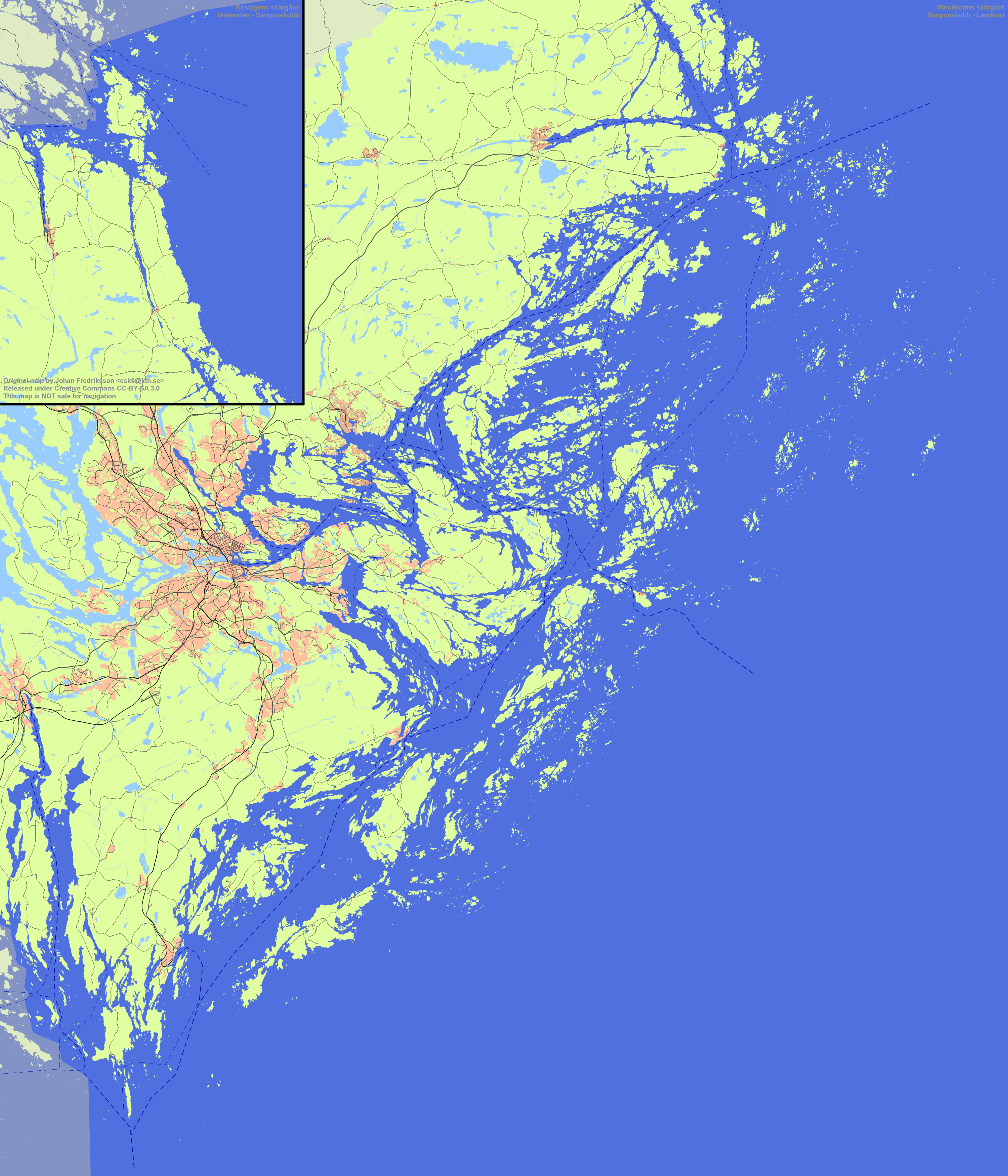
English: Overview map of Stockholm archipelago
This map is not safe for navigation! Svenska: Översiktskarta över Stockholms skärgård Kartan får inte användas för navigation! |
| Date | |
| Source | Own work |
| Author | Esquilo |
| Permission (Reusing this file) |
Johan Fredriksson, the copyright holder of this work, hereby publishes it under the following license: This file is licensed under the Creative Commons Attribution-Share Alike 3.0 Unported license. Attribution: Johan Fredriksson
|
File history
Click on a date/time to view the file as it appeared at that time.
| Date/Time | Thumbnail | Dimensions | User | Comment | |
|---|---|---|---|---|---|
| current | 09:05, 6 February 2011 | | 3,000 × 3,500 (3.2 MB) | Esquilo | Reverted to version as of 05:31, 27 October 2010 |
| 09:05, 6 February 2011 |  | 3,000 × 3,500 (3.52 MB) | Esquilo | Better background colour | |
| 05:31, 27 October 2010 |  | 3,000 × 3,500 (3.2 MB) | Esquilo | Added urban areas | |
| 15:32, 28 August 2010 |  | 3,000 × 3,500 (2.72 MB) | Esquilo | Added roads, railroads and airports | |
| 19:46, 12 July 2010 |  | 3,000 × 3,500 (1.98 MB) | Esquilo | Smaller image | |
| 13:36, 12 July 2010 |  | 6,000 × 7,000 (5.47 MB) | Esquilo | {{Information |Description={{en|1=Overview map of Stockholm arhipelago This map is '''not''' safe for navigation!}} {{sv|1=Översiktskarta över Stockholms skärgård Kartan får '''inte''' användas för navigation!}} |Source={{own}} |Author=[[User:Kemik |
File usage
No pages on the English Wikipedia use this file (pages on other projects are not listed).
Global file usage
The following other wikis use this file:
- Usage on ast.wikipedia.org
- Usage on ca.wikipedia.org
- Usage on ceb.wikipedia.org
- Usage on de.wikipedia.org
- Usage on es.wikipedia.org
- Usage on eu.wikipedia.org
- Usage on fi.wikipedia.org
- Usage on fr.wikipedia.org
- Usage on sv.wikipedia.org
- Siarö
- Stockholms skärgård
- Kårboda
- Norröra
- Rindö
- Skarpö
- Vaxön
- Älvsnabben
- Kymmendö
- Nämdö
- Finnhamn
- Arholma
- Svartsö
- Edö, Stockholms län
- Grän
- Söderöra
- Stomnarö
- Kålö (Stockholm)
- Husarö
- Lidö
- Orrön
- Grinda
- Bullerön
- Lökaön
- Tyvö
- Vättersö
- Rögrund
- Tjockö
- Gräskö
- Äpplarö
- Hemö-Bockö
- Svartlöga
- Rödlöga
- Löparö, Norrtälje kommun
- Norrö, Haninge kommun
- Aspö, Haninge kommun
- Rånö
- Ålö, Haninge kommun
View more global usage of this file.