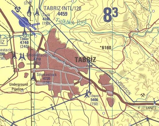
File:Tabriz-map-National-Imagery-and-Mapping-Agency-1998.jpg
Appearance
Tabriz-map-National-Imagery-and-Mapping-Agency-1998.jpg (553 × 437 pixels, file size: 73 KB, MIME type: image/jpeg)
File history
Click on a date/time to view the file as it appeared at that time.
| Date/Time | Thumbnail | Dimensions | User | Comment | |
|---|---|---|---|---|---|
| current | 08:12, 26 September 2009 |  | 553 × 437 (73 KB) | Bejnar | {{Information |Description={{en|1=Portion of map NJ 38-7 Tabriz, Iran; Azerbaijan; Armenia, showing Tabriz with airport and rivers}} |Source=Iran - Joint Operations Graphic (Air), Series 1501, 1:250,000, Map NJ 38-7 Tabriz, Iran; Azerbaijan; Armenia, U.S |
File usage
The following page uses this file:
Global file usage
The following other wikis use this file:
- Usage on ar.wikipedia.org
- Usage on azb.wikipedia.org
- Usage on az.wikipedia.org
- Usage on fa.wikipedia.org
- Usage on www.wikidata.org


