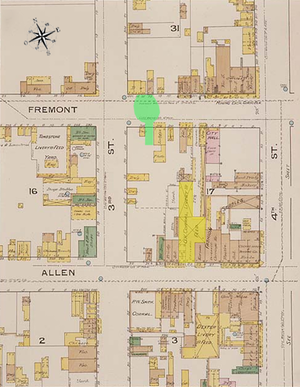
File:Tombstone fire insurance map 1888.jpg
Appearance

Size of this preview: 800 × 379 pixels. Other resolutions: 320 × 152 pixels | 640 × 304 pixels | 1,024 × 486 pixels | 1,280 × 607 pixels | 2,560 × 1,214 pixels | 8,000 × 3,794 pixels.
Original file (8,000 × 3,794 pixels, file size: 7.25 MB, MIME type: image/jpeg)
File history
Click on a date/time to view the file as it appeared at that time.
| Date/Time | Thumbnail | Dimensions | User | Comment | |
|---|---|---|---|---|---|
| current | 04:23, 7 March 2011 |  | 8,000 × 3,794 (7.25 MB) | Btphelps | Smaller version to eliminate errors with displaying larger image. |
| 00:39, 23 February 2011 |  | 16,131 × 7,651 (21.1 MB) | Btphelps | {{Information |Description ={{en|1=This map is one of over 700,000 fire insurance map sheets produced by the Sanborn Map Company for more than twelve thousand American cities and towns from the 1870s until the 1950s. These maps were prepared primarily |
File usage
The following 2 pages use this file:
Global file usage
The following other wikis use this file:
- Usage on de.wikipedia.org
- Usage on it.wikipedia.org

