
File:Zaporizhzhia province location map.svg

Size of this PNG preview of this SVG file: 532 × 469 pixels. Other resolutions: 272 × 240 pixels | 545 × 480 pixels | 871 × 768 pixels | 1,162 × 1,024 pixels | 2,323 × 2,048 pixels.
Original file (SVG file, nominally 532 × 469 pixels, file size: 160 KB)
| This is a file from the Wikimedia Commons. Information from its description page there is shown below. Commons is a freely licensed media file repository. You can help. |
Summary
| Description |
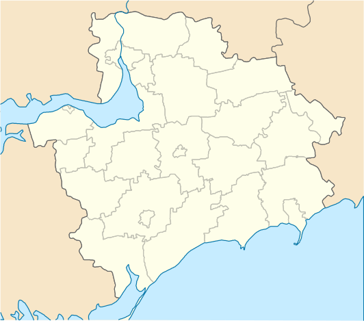
English: Location map of Zaporizhzhia province, Ukraine
Русский: Позиционная карта Запорожской области, Украина
Українська: Позиційна карта Запорізької області, Україна |
| Date | |
| Source | Own work |
| Author | Urutseg |
Licensing
| I, the copyright holder of this work, release this work into the public domain. This applies worldwide. In some countries this may not be legally possible; if so: I grant anyone the right to use this work for any purpose, without any conditions, unless such conditions are required by law. |
File history
Click on a date/time to view the file as it appeared at that time.
| Date/Time | Thumbnail | Dimensions | User | Comment | |
|---|---|---|---|---|---|
| current | 08:58, 29 June 2014 | | 532 × 469 (160 KB) | קרלוס הגדול | lighter borders between provinces |
| 17:06, 2 December 2010 |  | 532 × 469 (159 KB) | Urutseg | removed coord grid | |
| 17:02, 2 December 2010 |  | 654 × 522 (256 KB) | Urutseg |
File usage
No pages on the English Wikipedia use this file (pages on other projects are not listed).
Global file usage
The following other wikis use this file:
- Usage on ar.wikipedia.org
- Usage on bg.wikipedia.org
- Usage on ceb.wikipedia.org
- Usage on de.wikipedia.org
- Usage on es.wikipedia.org
- Usage on fa.wikipedia.org
- Usage on he.wikipedia.org
- Usage on hy.wikipedia.org
- Usage on kbd.wikipedia.org
- Usage on mk.wikipedia.org
- Usage on pl.wikibooks.org
- Usage on ro.wikipedia.org
- Berdeansk
- Dniprorudne
- Energodar
- Melitopol
- Moloceansk
- Orihiv
- Prîmorsk
- Rodînske
- Tokmak
- Vilneansk
- Format:Harta de localizare Ucraina Regiunea Zaporijjea
- Andrivka, Berdeansk
- Troianî, Berdeansk
- Polouzivka, Berdeansk
- Ivanivka, Berdeansk
- Sahno, Berdeansk
- Dahno, Berdeansk
- Novosilske, Berdeansk
- Uspenivka, Berdeansk
- Sofiivka, Berdeansk
- Andriivka, Berdeansk
- Sacikî, Berdeansk
- Berestove, Berdeansk
- Dovbîne, Berdeansk
- Șevcenka, Berdeansk
- Dmîtrivka, Berdeansk
- Krîmka, Berdeansk
View more global usage of this file.