Fort d'Aubervilliers station
Appearance
| Paris Métro station | |||||||||||
 | |||||||||||
| General information | |||||||||||
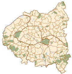
| Location | Aubervilliers Île-de-France France | ||||||||||
| Coordinates | 48°54′51″N 2°24′14″E / 48.91424°N 2.403785°E | ||||||||||
| Owned by | RATP | ||||||||||
| Operated by | RATP | ||||||||||
| Other information | |||||||||||
| Fare zone | 2 | ||||||||||
| History | |||||||||||
| Opened | 4 October 1979 | ||||||||||
| Services | |||||||||||
| |||||||||||
| |||||||||||
Fort d'Aubervilliers is a station of the Paris Métro. The Fort d'Aubervilliers is one of 16 forts built between 1841 and 1845 as the first belt of defence at a cannonball's distance outside Paris' 19th century wall.
Station layout
| Street Level |
| B1 | Mezzanine for platform connection |
| Line 7 platforms | ||
| Southbound | ← | |
| Northbound | | |
Gallery
-
Mezzanine at Fort d'Aubervilliers
Wikimedia Commons has media related to Fort d'Aubervilliers (Paris Metro).
References
- Roland, Gérard (2003). Stations de métro. D’Abbesses à Wagram. Éditions Bonneton.


