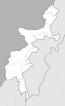
Ghalanai
Appearance
Ghalanai
غلنۍ | |
|---|---|
Town | |
 | |
| Coordinates: 34°19′27″N 71°23′54″E / 34.32417°N 71.39833°E | |
| Country | |
| Territory | |
| Agency | Mohmand Agency |
| Tehsil | Halim Zai |
| Elevation | 651 m (2,136 ft) |
| Population | |
| • Total | 6,422 |
| Time zone | UTC+5 (PST) |
Ghalanai (Template:Lang-ps) is a town in the Federally Administered Tribal Areas of Pakistan. It is located at 34°19'16N 71°24'0E with an altitude of 651 metres (2139 feet).[2] It is currently the administrative capital and main town of the Mohmand Agency
References
- ^ "POPULATION AND HOUSEHOLD DETAIL FROM BLOCK TO DISTRICT LEVEL: FATA (MOHMAND AGENCY)" (PDF). www.pbscensus.gov.pk. 2018-01-03. Retrieved 2018-03-31.
- ^ Location of Ghalanai - Falling Rain Genomics


