
Illschwang
Illschwang | |
|---|---|
 Coat of arms | |
Location of Illschwang within Amberg-Sulzbach district 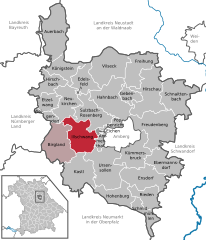 | |
 Illschwang  Illschwang | |
| Coordinates: 49°27′N 11°41′E / 49.450°N 11.683°E | |
| Country | Germany |
| State | Bavaria |
| Admin. region | Oberpfalz |
| District | Amberg-Sulzbach |
| Municipal assoc. | Illschwang |
| Government | |
| • Mayor | Hans Pickel |
| Area | |
| • Total | 54.15 km2 (20.91 sq mi) |
| Elevation | 488 m (1,601 ft) |
| Population (2023-12-31)[1] | |
| • Total | 2,083 |
| • Density | 38/km2 (100/sq mi) |
| Time zone | UTC+01:00 (CET) |
| • Summer (DST) | UTC+02:00 (CEST) |
| Postal codes | 92278 |
| Dialling codes | 09666 |
| Vehicle registration | AS |
| Website | www.illschwang.de |
Illschwang is a municipality in the district of Amberg-Sulzbach in Bavaria in Germany.
Towns and municipalities in Amberg-Sulzbach | ||
|---|---|---|
|  | |
Wikimedia Commons has media related to Illschwang.
References
- ^ Genesis Online-Datenbank des Bayerischen Landesamtes für Statistik Tabelle 12411-003r Fortschreibung des Bevölkerungsstandes: Gemeinden, Stichtag (Einwohnerzahlen auf Grundlage des Zensus 2011).
| International | |
|---|---|
| National | |
| Geographic | |
This Amberg-Sulzbach location article is a stub. You can help Wikipedia by expanding it. |