
File:Africa-map.jpg
Size of this preview: 483 × 600 pixels. Other resolutions: 193 × 240 pixels | 505 × 627 pixels.
Original file (505 × 627 pixels, file size: 97 KB, MIME type: image/jpeg)
| This is a file from the Wikimedia Commons. Information from its description page there is shown below. Commons is a freely licensed media file repository. You can help. |
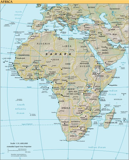
Summary
Political map of Africa.
Licensing
This image is in the public domain because it contains materials that originally came from the United States Central Intelligence Agency's World Factbook.
|
 |
[1] archive copy at the Wayback Machine
File history
Click on a date/time to view the file as it appeared at that time.
| Date/Time | Thumbnail | Dimensions | User | Comment | |
|---|---|---|---|---|---|
| current | 01:15, 8 August 2006 | | 505 × 627 (97 KB) | Tobyw87 | Political map of Africa. |
File usage
The following pages on the English Wikipedia use this file (pages on other projects are not listed):
Global file usage
The following other wikis use this file:
- Usage on es.wikibooks.org
- Usage on it.wikipedia.org
- Usage on sk.wikipedia.org
- Usage on sr.wikipedia.org