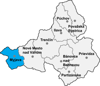
Jablonka, Myjava District
Appearance

Jablonka is a village and municipality in the Myjava District in the Trenčín Region of West Slovakia. The name Jablonka literally translates as a 'small apple tree', which can be explained by the big amount of apple trees in and around the village.
History
In historical records the village was first mentioned in 1955.
Geography
The municipality lies at an altitude of 290 metres and covers an area of 12.587 km². It has a population of about 516 people. The small villages in Jablonka consist of U maliarikovci, U usiiacovci and U michalickovci.
