
Kuru River
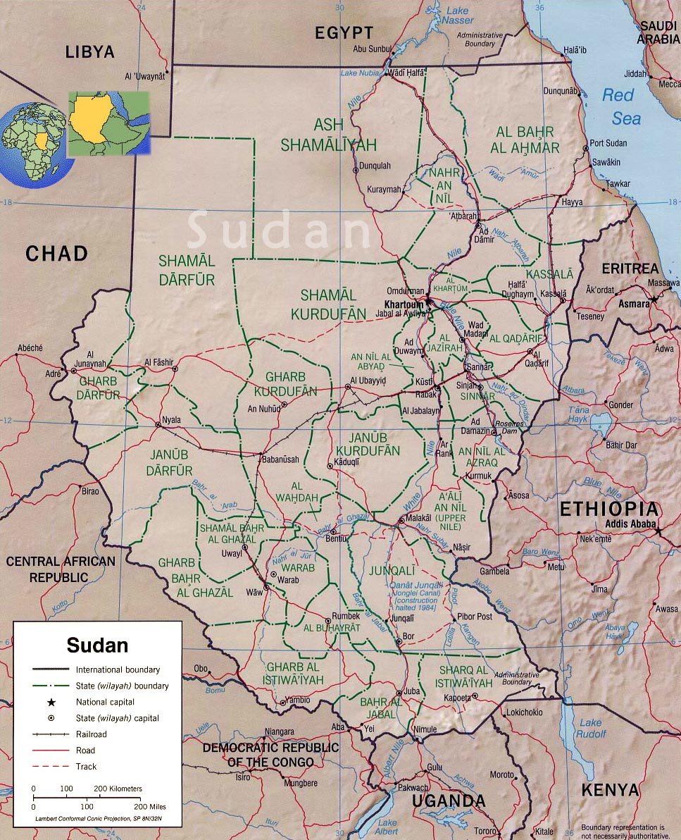
The Kuru River is a stream in the South Sudanese state of Northern Bahr el Ghazal. The town of Nymlal lies to its south.
9°07′N 26°57′E / 9.12°N 26.95°E
See also
External links
This is an old revision of this page, as edited by Od Mishehu AWB (talk | contribs) at 17:57, 3 May 2016 (stub sorting using AWB). The present address (URL) is a permanent link to this revision, which may differ significantly from the current revision.
The Kuru River is a stream in the South Sudanese state of Northern Bahr el Ghazal. The town of Nymlal lies to its south.
9°07′N 26°57′E / 9.12°N 26.95°E / 9.12; 26.95
| White Nile |
| ||||||
|---|---|---|---|---|---|---|---|
| Marshes, endorheic basin | |||||||
This article related to a river in South Sudan is a stub. You can help Wikipedia by expanding it. |