
Langenwetzendorf
Langenwetzendorf | |
|---|---|
 Coat of arms | |
Location of Langenwetzendorf within Greiz district 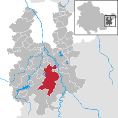 | |
 Langenwetzendorf  Langenwetzendorf | |
| Coordinates: 50°40′37″N 12°5′53″E / 50.67694°N 12.09806°E | |
| Country | Germany |
| State | Thuringia |
| District | Greiz |
| Government | |
| • Mayor | Klaus Zschiegner |
| Area | |
| • Total | 55.99 km2 (21.62 sq mi) |
| Elevation | 338 m (1,109 ft) |
| Population (2022-12-31)[1] | |
| • Total | 4,117 |
| • Density | 74/km2 (190/sq mi) |
| Time zone | UTC+01:00 (CET) |
| • Summer (DST) | UTC+02:00 (CEST) |
| Postal codes | 07957 |
| Dialling codes | 036625 |
| Vehicle registration | GRZ |
| Website | www.langenwetzendorf.de |
Langenwetzendorf is a municipality in the district of Greiz, in Thuringia, Germany.
History
Within the German Empire (1871-1918), Langenwetzendorf was part of the Principality of Reuss-Gera.
.jpg)
References
External links
| International | |
|---|---|
| National | |
This Greiz district location article is a stub. You can help Wikipedia by expanding it. |