
Niedertrebra
Niedertrebra | |
|---|---|
Location of Niedertrebra within Weimarer Land district 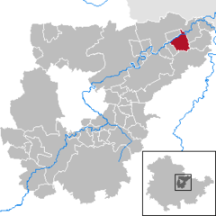 | |
| Country | Germany |
| State | Thuringia |
| District | Weimarer Land |
| Municipal assoc. | Bad Sulza |
| Government | |
| • Mayor | Martin Tremel |
| Area | |
| • Total | 8.98 km2 (3.47 sq mi) |
| Elevation | 138 m (453 ft) |
| Population (2022-12-31)[1] | |
| • Total | 749 |
| • Density | 83/km2 (220/sq mi) |
| Time zone | UTC+01:00 (CET) |
| • Summer (DST) | UTC+02:00 (CEST) |
| Postal codes | 99518 |
| Dialling codes | 036461 |
| Vehicle registration | AP |
| Website | www.bad-sulza.de |
Niedertrebra is a municipality in the Weimarer Land district of Thuringia, Germany.
References

| International | |
|---|---|
| National | |
This Weimarer Land location article is a stub. You can help Wikipedia by expanding it. |