Paluxy River


The Paluxy River is a river in the U.S. state of Texas. It is a tributary of the Brazos River. It is formed by the convergence of the North Paluxy River and the South Paluxy River near Bluff Dale, Texas in Erath County and flows a distance of 29 miles (47 km) before joining the Brazos just to the east of Glen Rose, Texas in south central Somervell County.[1]
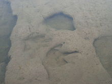
It is best known for numerous dinosaur footprints found in its bed near Glen Rose at the Dinosaur Valley State Park. The Paluxy River became famous for controversy in the early 1930s when locals found dinosaur and supposed human footprints in the same rock layer in the Glen Rose Formation, which were widely publicized as evidence against the geological time scale and in favor of young-Earth creationism. However, these anachronistic "human" footprints have been determined to be mistaken interpretation.[2]
