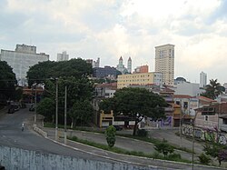
Penha (district of São Paulo)
Penha | |
|---|---|
 Location in the city of São Paulo | |
 | |
| Country | Brazil |
| State | São Paulo |
| City | São Paulo |
| Government | |
| • Type | Subprefecture |
| • Subprefect | Cássio Freire Loschiavo |
| Population (2000) | |
| • Total | 124.292 |
| HDI | 0.865 –high |
| Website | Subprefecture of Penha |
Penha (Portuguese pronunciation: [ˈpeɲɐ]) is a district in the subprefecture of Penha of the city of São Paulo, Brazil. It's one of the oldest areas in São Paulo and known because of the church Nossa Senhora da Penha, one of the oldest of the city. 23°31′30.25″S 46°32′55.97″W / 23.5250694°S 46.5488806°W
References

